Gauge Conditions
Data from American Whitewater & USGS
Photo
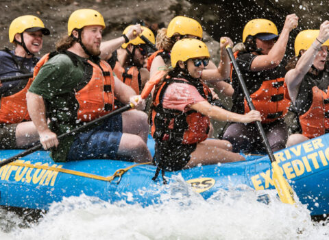
Photo courtesy of American Whitewater
Description
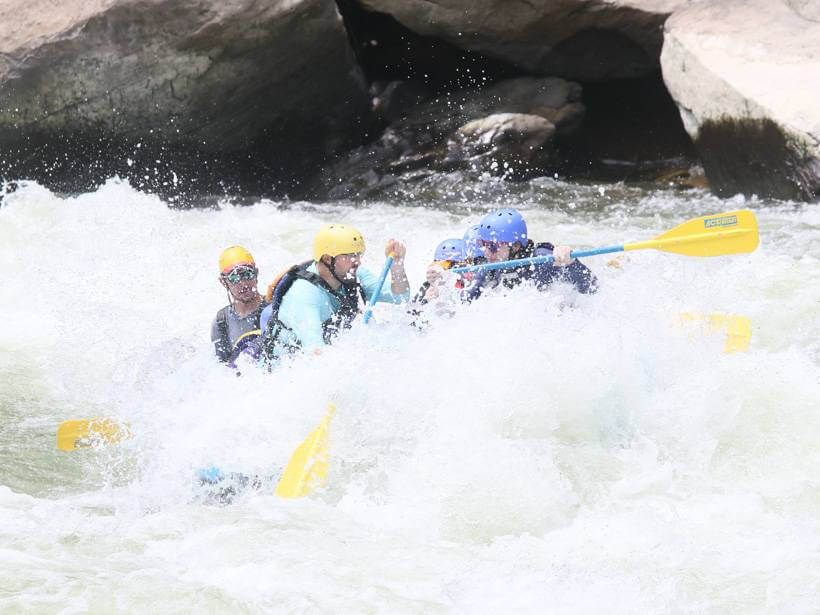
Take Out marks the final navigable stretch before the takeout point, characterized by a series of scattered boulder gardens and narrow channels that demand precise boat positioning. The rapid requires careful route selection to avoid potential pin spots and submerged rocks, with the primary line hugging the river right bank to minimize exposure to debris and hydraulics. Paddlers should scout thoroughly and be prepared for potential wood hazards, especially during low water conditions.
Location
Other Rapids on This Run (1)
View Full Run
Amblersburg to Rowlesburg
Saltlick Creek
III
4.9 mi
Current Conditions
5-Day Forecast
Whitewater data from
American Whitewater
American Whitewater