Gauge Conditions
Runnable: ? – ? CFS
Approximate - nearest available gauge. Use as general reference only.
Data from American Whitewater & USGS
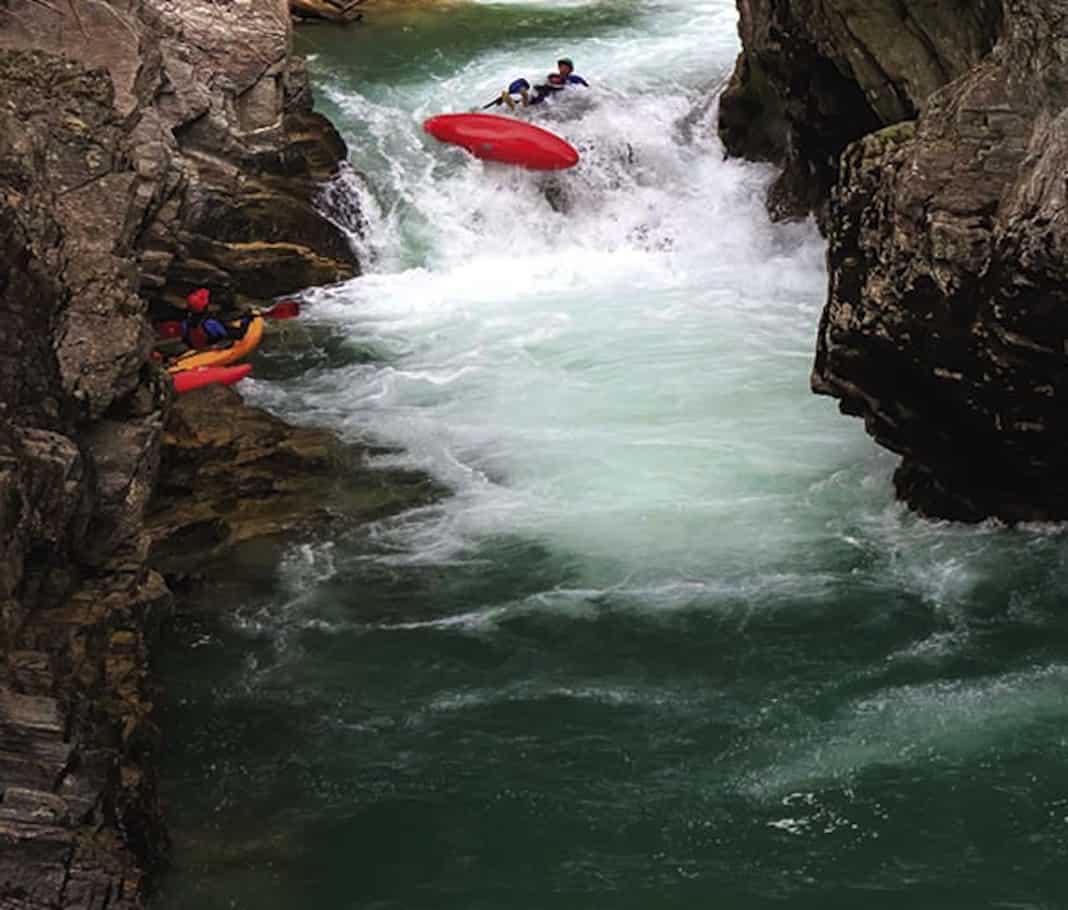
Photo
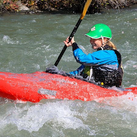
Photo courtesy of American Whitewater
Description
Take Out rapid marks the conclusion of this section, featuring a straightforward but potentially technical exit point with potential boulder interactions near the river's right bank. Paddlers should be prepared for potential shallow water conditions and remain alert for submerged rocks when approaching the takeout zone.
Location
Other Rapids on This Run (2)
View Full Run
B) CTH.Y to Upper Newton Road (4.5 miles)
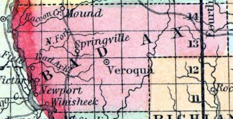
Bad Axe, N.Fk.
I-II
4.2 mi
Current Conditions
5-Day Forecast
Whitewater data from
American Whitewater
American Whitewater