Take-out
WV
Take Out - Beaver Creek near Gage, WV
Tygart Valley - 3. Aggregates to the confluence with Beaver Creek (WV)
Gauge Conditions
Data from American Whitewater & USGS
Photo
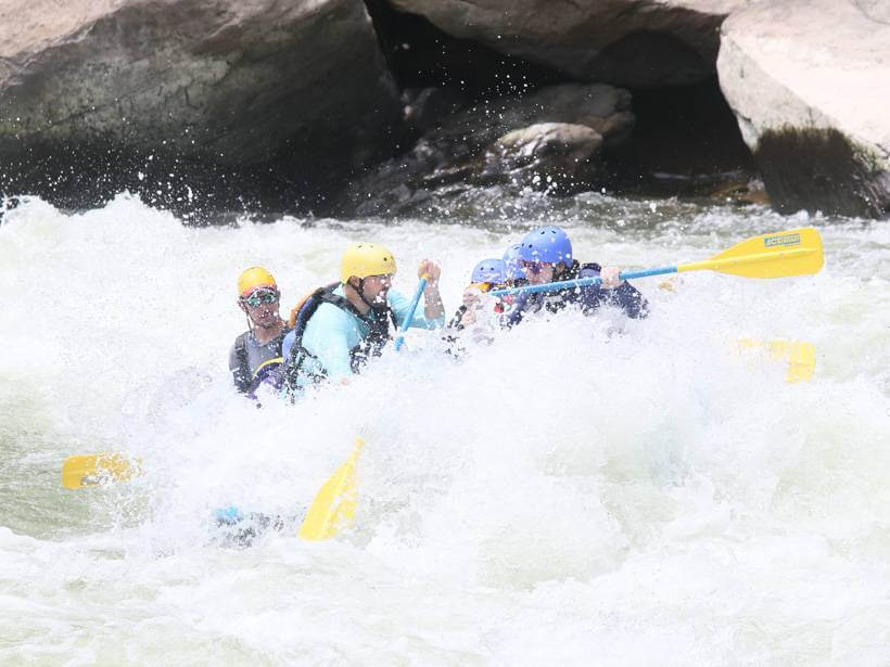
Photo courtesy of American Whitewater
Description
The Take Out rapid at Beaver Creek near Gage, WV offers a complex exit point for paddlers navigating the Tygart Valley section, with potential navigation challenges around river obstacles and potential shifting water conditions. While specific details about this rapid's technical characteristics are limited, paddlers should approach with caution and conduct careful scouting before attempting to traverse or use this location as an exit point.
Location
Other Rapids on This Run (2)
View Full Run
3. Aggregates to the confluence with Beaver Creek
Tygart Valley
II-III+
9.6 mi
Current Conditions
5-Day Forecast
Whitewater data from
American Whitewater
American Whitewater