Gauge Conditions
Runnable: 1,000.0 – 5,000.0 CFS
Upper limit for best boatability uncertain. Please help your fellow boaters with a comment or report.
Data from American Whitewater & USGS
Photo
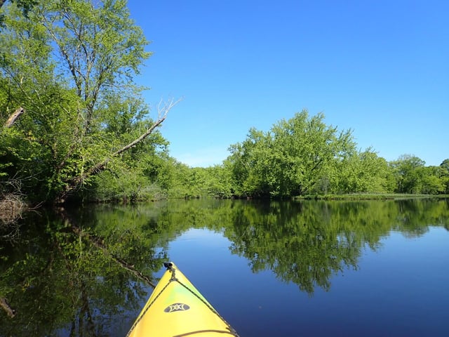
Photo courtesy of American Whitewater
Description
Take Out rapid is located just downstream of Route 6, offering a straightforward but potentially technical descent with scattered boulder gardens and potential channel constrictions. Paddlers should be prepared to navigate around mid-stream rocks and assess water levels, as flow can significantly impact line selection and hazard exposure. No specific safety concerns are noted, but standard whitewater precautions are recommended.
Location
Other Rapids on This Run (1)

View Full Run
Below Route 6
Quinebaug
III
1.0 mi
Current Conditions
5-Day Forecast
Whitewater data from
American Whitewater
American Whitewater