Gauge Conditions
Runnable: ? – ? CFS
Approximate - nearest available gauge. Use as general reference only.
Data from American Whitewater & USGS
Photo
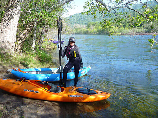
Photo courtesy of American Whitewater
Description
Take Out rapid appears to be a straightforward section of Bottom Creek with minimal technical challenges, likely featuring a relatively clean run near the road bridge. While specific details are limited, paddlers should maintain standard awareness of potential river hazards and scout the rapid's characteristics before running. No exceptional risks or unique features are immediately apparent from available information.
Location
Other Rapids on This Run (1)
View Full Run
Bottom Creek Road Bridge To Route 637
Bottom Creek
V+
4.4 mi
Current Conditions
5-Day Forecast
Whitewater data from
American Whitewater
American Whitewater