Gauge Conditions
Runnable: ? – ? CFS
Approximate - nearest available gauge. Use as general reference only.
Data from American Whitewater & USGS
CDEC Flow Data California
Data from California Data Exchange Center (CDEC)
Photo
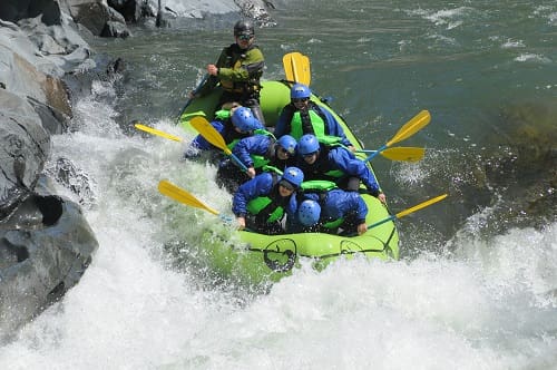
Photo courtesy of American Whitewater
Description
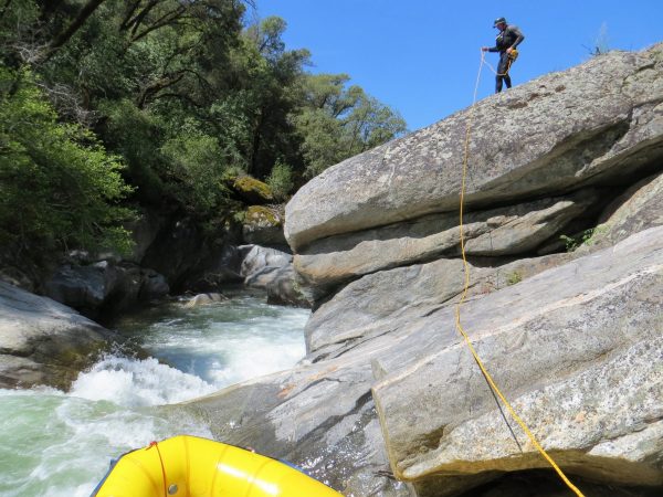
Take Out marks the end of the Buchanan Road section, characterized by a complex exit with multiple line options requiring precise navigation. Paddlers should be prepared for potential shallow rocks and shifting channels, particularly at lower water levels, and carefully scout the rapid's exit to identify the cleanest route through the terminal features.
Location
Other Rapids on This Run (1)
View Full Run
Buchanan Road to Main Tuolumne River
Tuolumne, North Fork
V
8.5 mi
Current Conditions
5-Day Forecast
Whitewater data from
American Whitewater
American Whitewater