Gauge Conditions
Data from American Whitewater & USGS
Photo
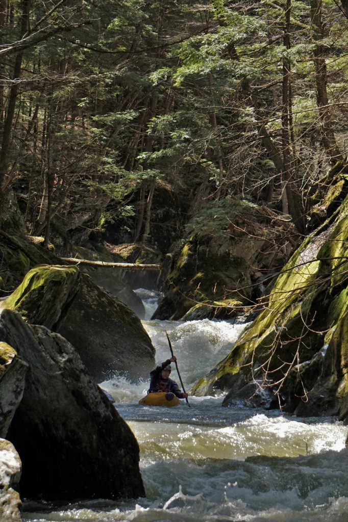
Photo courtesy of American Whitewater
Description
Take Out rapid marks the end of the Ridley Brook run, transitioning paddlers from the brook's technical descent to the confluence with the Winooski River. While specific details are limited, the rapid likely presents a final set of challenges with potential for boulder obstacles and complex water dynamics requiring careful navigation as boaters approach the river junction.
Location
Other Rapids on This Run (1)

View Full Run
Camel's Hump Rd. in N. Duxbury to Winooski R.
Ridley Brook
V
2.0 mi
Current Conditions
5-Day Forecast
Whitewater data from
American Whitewater
American Whitewater