Gauge Conditions
Runnable: 700.0 – 25,000.0 CFS
Best levels unknown. Help us out! Add a comment.
Data from American Whitewater & USGS
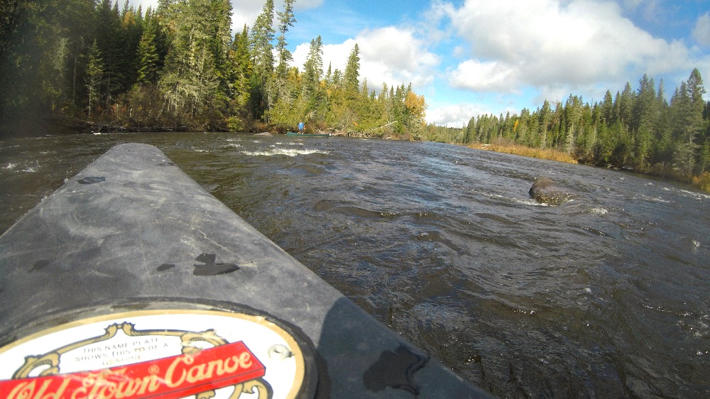
Photo
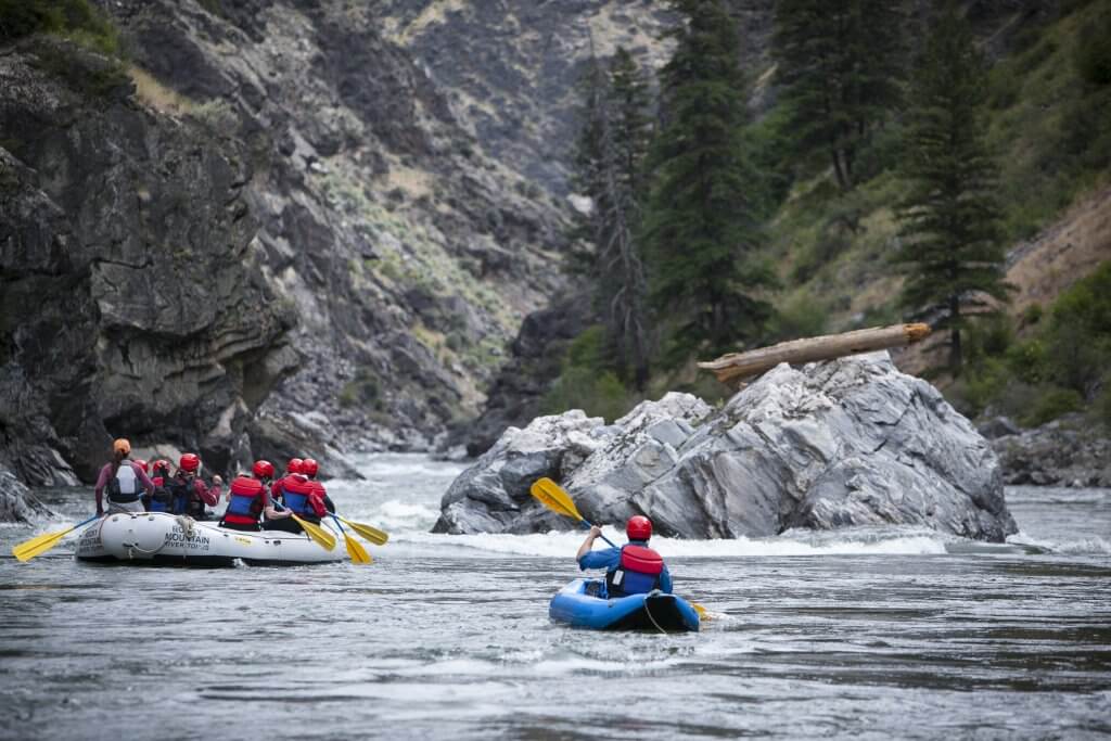
Photo courtesy of American Whitewater
Description
Take Out marks the final navigable section before Allagash Village, serving as a critical transition point for river travelers. While specific technical details are limited, paddlers should anticipate potential river conditions typical of the Allagash watershed, including potential shallow areas, submerged obstacles, and potential water level variations that could impact safe passage.
Location
Other Rapids on This Run (1)
View Full Run
Chamberlain Lake to Allagash Village
Allagash
I-II
8.6 mi
Current Conditions
5-Day Forecast
Whitewater data from
American Whitewater
American Whitewater