Gauge Conditions
Runnable: 350.0 – 800.0 CFS
Note that this gage is on Prospect Creek, and is only intended to offer a general idea of what flows in the Fish Creek watershed are likely up to.
Data from American Whitewater & USGS
Photo
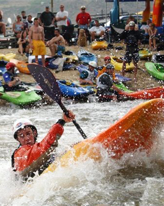
Photo courtesy of American Whitewater
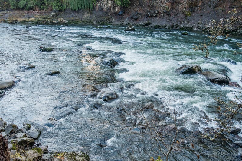
Description
You can take out by hiking out on the steep trail from the confluence, paddle to one of the Clark Fork access areas, or take out before the bottom gorge at any roadside pull off.
Location
Other Rapids on This Run (1)
View Full Run
Clearwater Crossing Ranger Station to Clark Fork River
Fish Creek
I-III
16.0 mi
Current Conditions
5-Day Forecast
Whitewater data from
American Whitewater
American Whitewater