Gauge Conditions
Data from American Whitewater & USGS
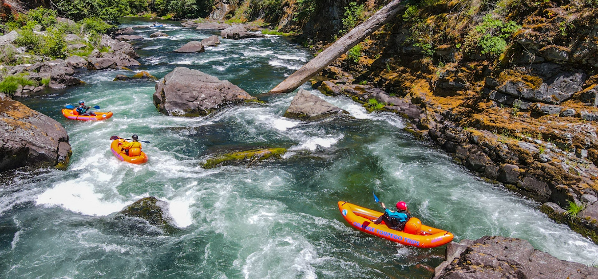
Photo

Photo courtesy of American Whitewater
Description
Take Out marks the end of this river section, serving as a crucial access point where paddlers exit the water after navigating the confluence of the North and South Umpqua Rivers. While specific technical details are limited, boaters should be prepared for potential transition zones and varying water conditions typical of river confluences.
Location
Other Rapids on This Run (1)
View Full Run
Confluence of N. and S. Umpqua to Scottsburg
Umpqua
I-II
83.9 mi
Current Conditions
5-Day Forecast
Whitewater data from
American Whitewater
American Whitewater