Gauge Conditions
Runnable: ? – ? CFS
Approximate - nearest available gauge. Use as general reference only.
Data from American Whitewater & USGS
Photo
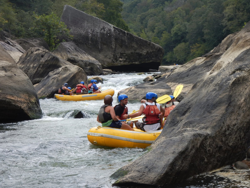
Photo courtesy of American Whitewater
Description
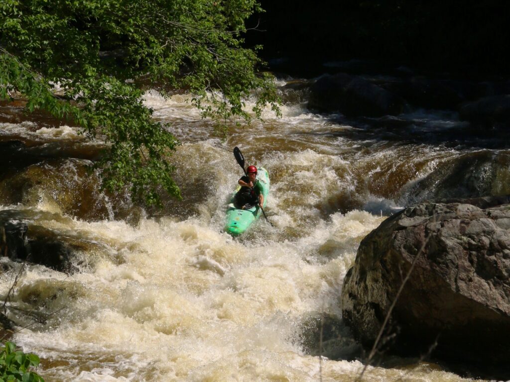
Take Out rapid marks the end of the Calloway Creek run, situated at the confluence with the Kentucky River. The rapid offers no significant technical challenges but requires careful navigation due to potential debris and shifting water levels at the river junction. Paddlers should be aware of potential takeout obstacles and ensure a clean exit from the creek onto the larger river.
Location
Other Rapids on This Run (1)
View Full Run
Confluence of Smith Fork to KY River (2.5 miles)
Calloway Creek
II-IV
3.3 mi
Current Conditions
5-Day Forecast
Whitewater data from
American Whitewater
American Whitewater