Take-out
PA
Take Out - Confluence with Shade Creek
Clear Shade Creek - Crum Road (Iron Bridge) to Shade Creek (PA)
Gauge Conditions
Data from American Whitewater & USGS
Photo
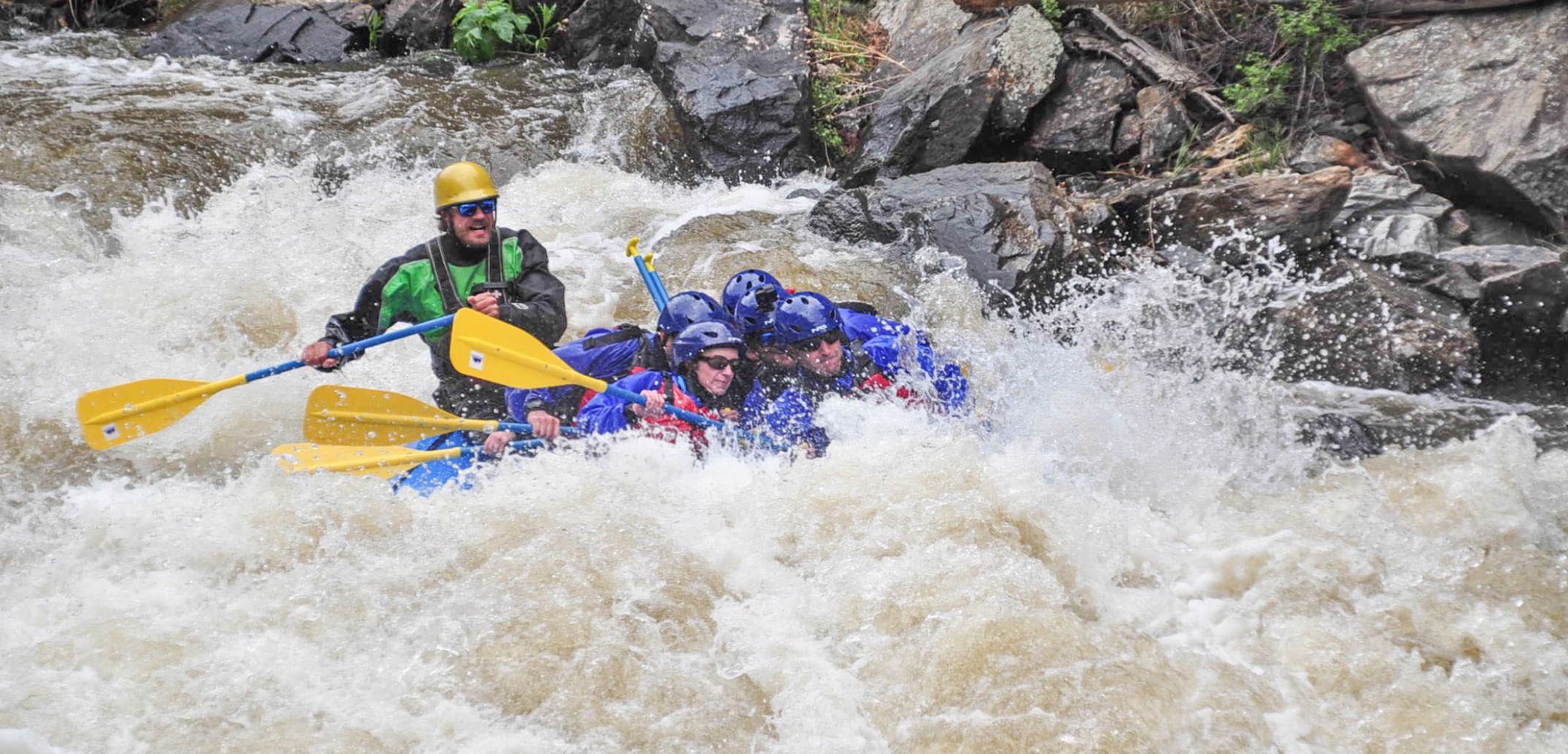
Photo courtesy of American Whitewater
Description
At the confluence with Shade Creek, paddlers encounter a critical transition point requiring precise navigation and route selection. The takeout demands careful approach due to potential current shifts and potential obstacles around the creek junction, with paddlers needing to maintain situational awareness and execute a clean exit from the river.
Location
Other Rapids on This Run (1)

View Full Run
Crum Road (Iron Bridge) to Shade Creek
Clear Shade Creek
III
5.6 mi
Current Conditions
5-Day Forecast
Whitewater data from
American Whitewater
American Whitewater