Gauge Conditions
Runnable: ? – ? CFS
Approximate - nearest available gauge. Use as general reference only.
Data from American Whitewater & USGS
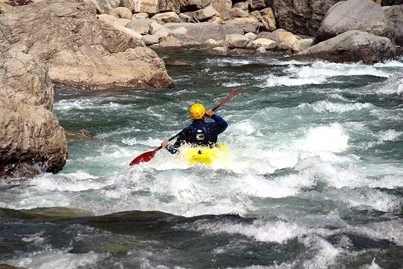
Photo
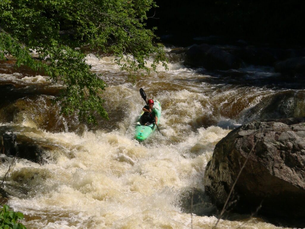
Photo courtesy of American Whitewater
Description
Take Out rapid marks the end of the Island Creek run, featuring a straightforward final descent with scattered rock formations that require precise boat positioning. Paddlers should be prepared for potential shallow sections and potential underwater obstacles near the exit point, staying alert and maintaining momentum through the final stretch before reaching the Pacolet River confluence.
Location
Other Rapids on This Run (1)
View Full Run
Cornmill Road Near Mayo to Pacolet River
Island Creek
II-III
5.8 mi
Current Conditions
5-Day Forecast
Whitewater data from
American Whitewater
American Whitewater