Gauge Conditions
Runnable: ? – ? CFS
Approximate - nearest available gauge. Use as general reference only.
Data from American Whitewater & USGS
Photo
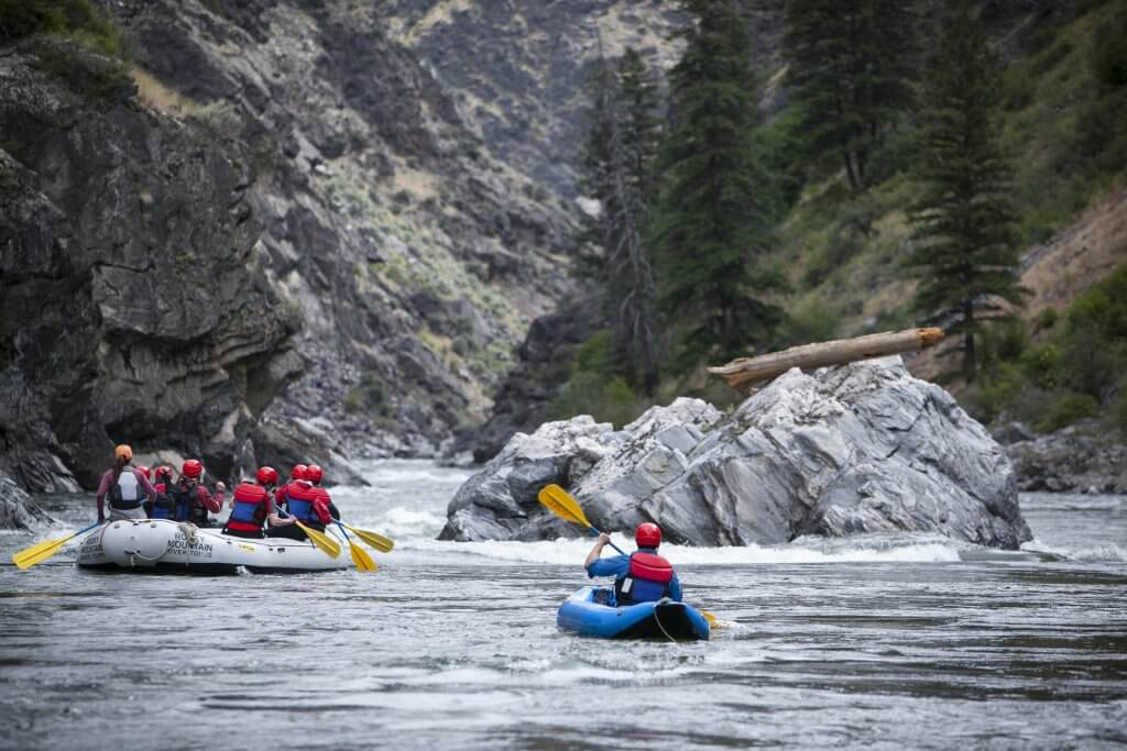
Photo courtesy of American Whitewater
Description
Take Out rapid on Bitch Creek offers a complex navigation challenge with multiple discrete channels and unpredictable rock placement requiring precise boat positioning. The rapid's descent includes several tight technical sections with potential for pin hazards and limited recovery space, demanding advanced reading of water flow and immediate route selection.
Location
Other Rapids on This Run (2)

View Full Run
Coyote Meadows to Highway 32 Bridge
Bitch Creek
III-IV
13.6 mi
Current Conditions
5-Day Forecast
Whitewater data from
American Whitewater
American Whitewater