Gauge Conditions
Runnable: ? – ? CFS
Approximate - nearest available gauge. Use as general reference only.
Data from American Whitewater & USGS
Photo
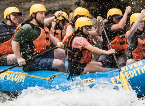
Photo courtesy of American Whitewater
Description
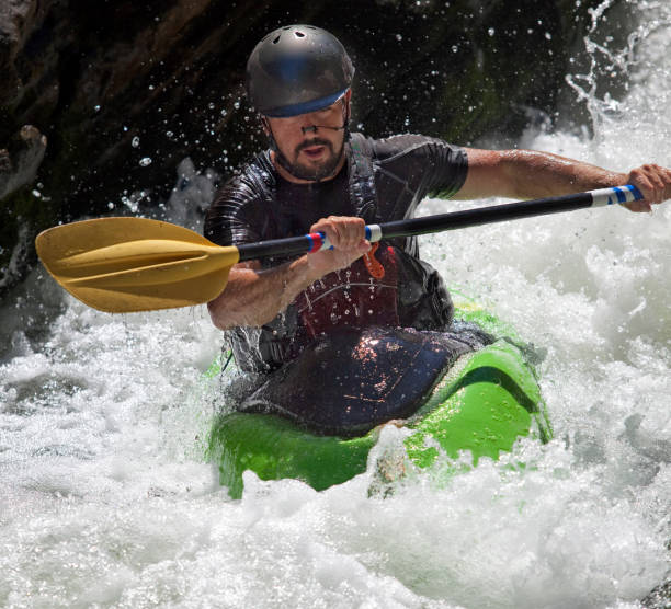
Take Out rapid marks the end of the Pinnacle Creek run, located just upstream of the confluence with the Guyandotte River. The rapid features a complex boulder garden with multiple potential lines and potential for pin hazards, requiring careful route selection and precise maneuvering. Paddlers should be prepared for potential undercut rocks and shifting water channels that can change with different flow levels.
Location
Other Rapids on This Run (1)
View Full Run
CR 18 bridge to confluence with Guyandotte River
Pinnacle Creek
I-III
11.8 mi
Current Conditions
5-Day Forecast
Whitewater data from
American Whitewater
American Whitewater