Gauge Conditions
Runnable: ? – ? CFS
Approximate - nearest available gauge. Use as general reference only.
Data from American Whitewater & USGS
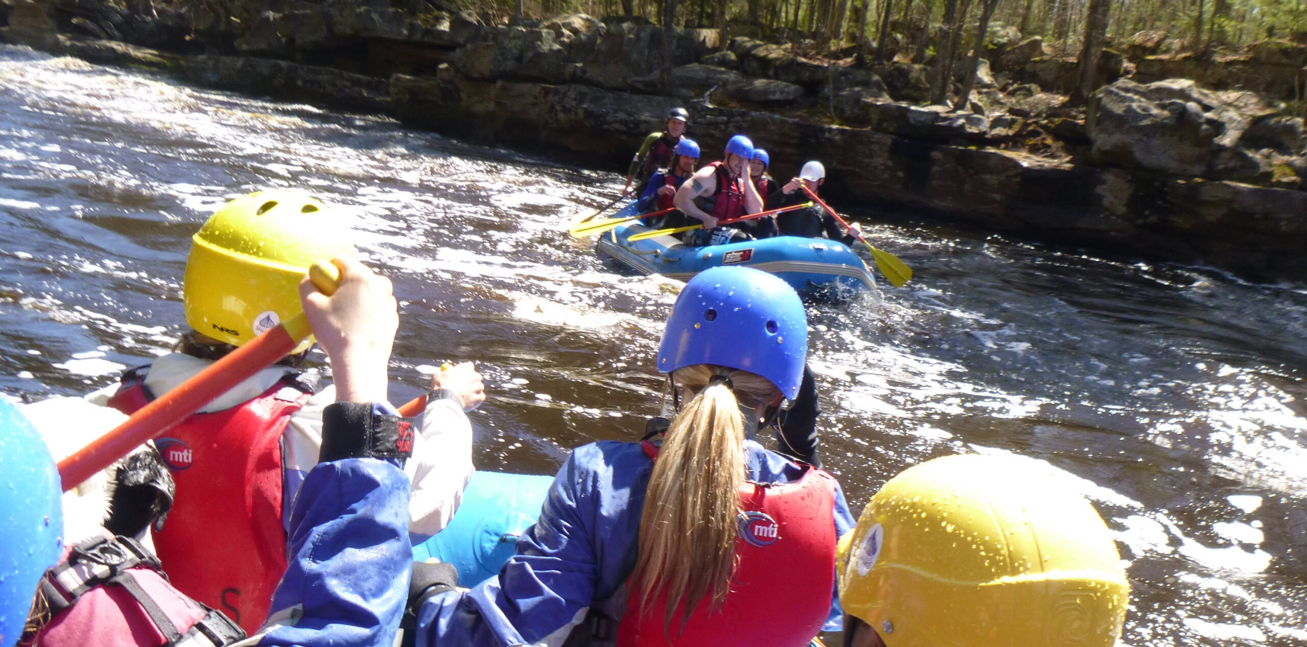
Photo

Photo courtesy of American Whitewater
Description
Take Out rapid marks the end of this challenging Kimball Creek run, presenting paddlers with a technical exit point that requires precise maneuvering between exposed rocks and potential undercut hazards near the Lake Superior takeout. Careful route selection is critical here, as the rapid's proximity to the lake creates complex hydraulics and the potential for shifting conditions, demanding full attention from paddlers even at the conclusion of the short but intense 3.45-mile descent.
Location
Other Rapids on This Run (1)
View Full Run
CR60 to Hwy.61/Lake Superior (3.45 miles)
Kimball Creek
II-IV+
3.3 mi
Current Conditions
5-Day Forecast
Whitewater data from
American Whitewater
American Whitewater