Take-out
MO
Take Out
Crane Pond Creek - Crane Lake to County Road 134 (Minimum Rd/Neal Huff Rd) (2.35 miles) (MO)
Gauge Conditions
Data from American Whitewater & USGS
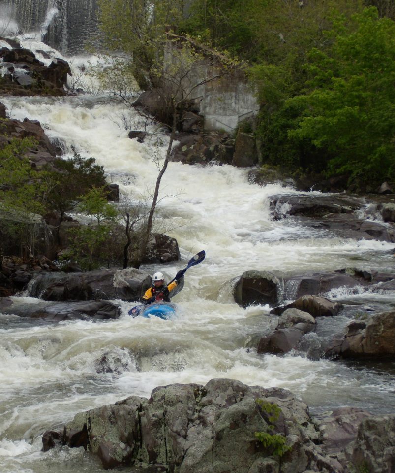
Photo

Photo courtesy of American Whitewater
Description
Take Out marks the terminus of this short but technical section of Crane Pond Creek, characterized by tight maneuvering between scattered rock formations and potential undercut hazards. Paddlers should carefully scout the rapid's exit point, paying close attention to potential strainers and the surrounding terrain that could complicate boat retrieval or emergency extraction.
Location
Other Rapids on This Run (1)
View Full Run
Crane Lake to County Road 134 (Minimum Rd/Neal Huff Rd) (2.35 miles)
Crane Pond Creek
III-IV
3.0 mi
Current Conditions
5-Day Forecast
Whitewater data from
American Whitewater
American Whitewater