Gauge Conditions
Runnable: ? – ? CFS
Approximate - nearest available gauge. Use as general reference only.
Data from American Whitewater & USGS
Photo
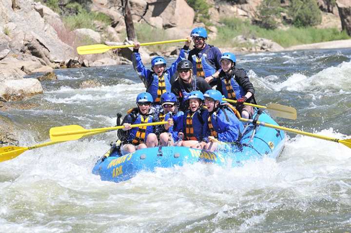
Photo courtesy of American Whitewater
Description
Take Out marks the final descent before the river exit, characterized by a straightforward but potentially shallow approach with scattered submerged rocks that require precise navigation. Paddlers should be prepared for potential scraping and the need to carefully select a line that avoids potential boat damage, especially during lower water levels.
Location
Other Rapids on This Run (1)
View Full Run
Crawford to East Machias
East Machias
I-III
30.2 mi
Current Conditions
5-Day Forecast
Whitewater data from
American Whitewater
American Whitewater