Take-out
VA
Take Out
Whitetop Laurel Creek - Creek Junction (Route 728) to Route 58 near Damascus (VA)
Gauge Conditions
Data from American Whitewater & USGS
Photo
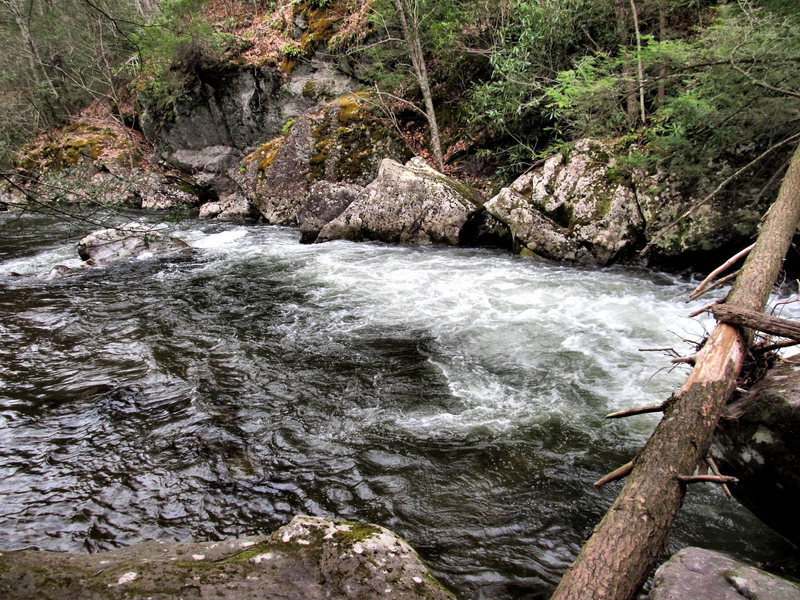
Photo courtesy of American Whitewater
Description
Take Out is the terminal rapid before exiting the creek at the Route 58 bridge near Damascus, marking the end of the Whitetop Laurel Creek run. The rapid features a straightforward exit with minimal technical challenges, but paddlers should be aware of potential debris and strainers near the bridge abutments. Maintaining proper boat control and awareness of the surrounding environment is crucial when navigating this final section.
Location
Other Rapids on This Run (1)

View Full Run
Creek Junction (Route 728) to Route 58 near Damascus
Whitetop Laurel Creek
II-IV
10.6 mi
Current Conditions
5-Day Forecast
Whitewater data from
American Whitewater
American Whitewater