Gauge Conditions
Runnable: ? – ? CFS
Approximate - nearest available gauge. Use as general reference only.
Data from American Whitewater & USGS
Photo
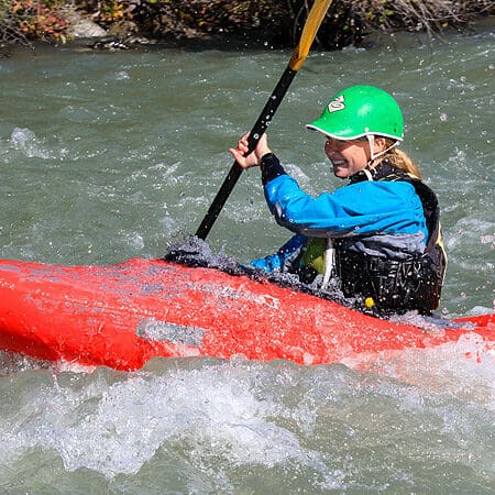
Photo courtesy of American Whitewater
Description
Take Out rapid marks the end of a remote Arctic river section, characterized by braided channels and potential shallow rock gardens that require careful route selection. Located near the end of the Dalton Highway access, paddlers should be prepared for shifting channels and potential shallow water hazards, especially during low flow periods. Advanced navigation skills and local knowledge are crucial for safely negotiating this transition point on the Atigun River.
Location
Other Rapids on This Run (2)
View Full Run
Dalton Hwy Bridge to Slope Mt. Road Camp
Atigun/Sagavanirktok
III-IV
38.0 mi
Current Conditions
5-Day Forecast
Whitewater data from
American Whitewater
American Whitewater