Gauge Conditions
Data from American Whitewater & USGS
Photo
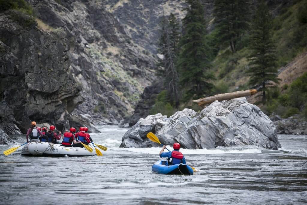
Photo courtesy of American Whitewater
Description
Take Out is a relatively straightforward section near the end of the Narraguagus River run, primarily characterized by its transition between moving water and potential takeout points. Paddlers should be aware of potential submerged rocks and variable water levels that can impact navigability, though specific technical challenges are limited in this stretch.
Location
Other Rapids on This Run (1)
View Full Run
Deblois to Cherryfield
Narraguagus
I-V
16.3 mi
Current Conditions
5-Day Forecast
Whitewater data from
American Whitewater
American Whitewater