Gauge Conditions
Runnable: ? – ? CFS
Approximate - nearest available gauge. Use as general reference only.
Data from American Whitewater & USGS
Photo
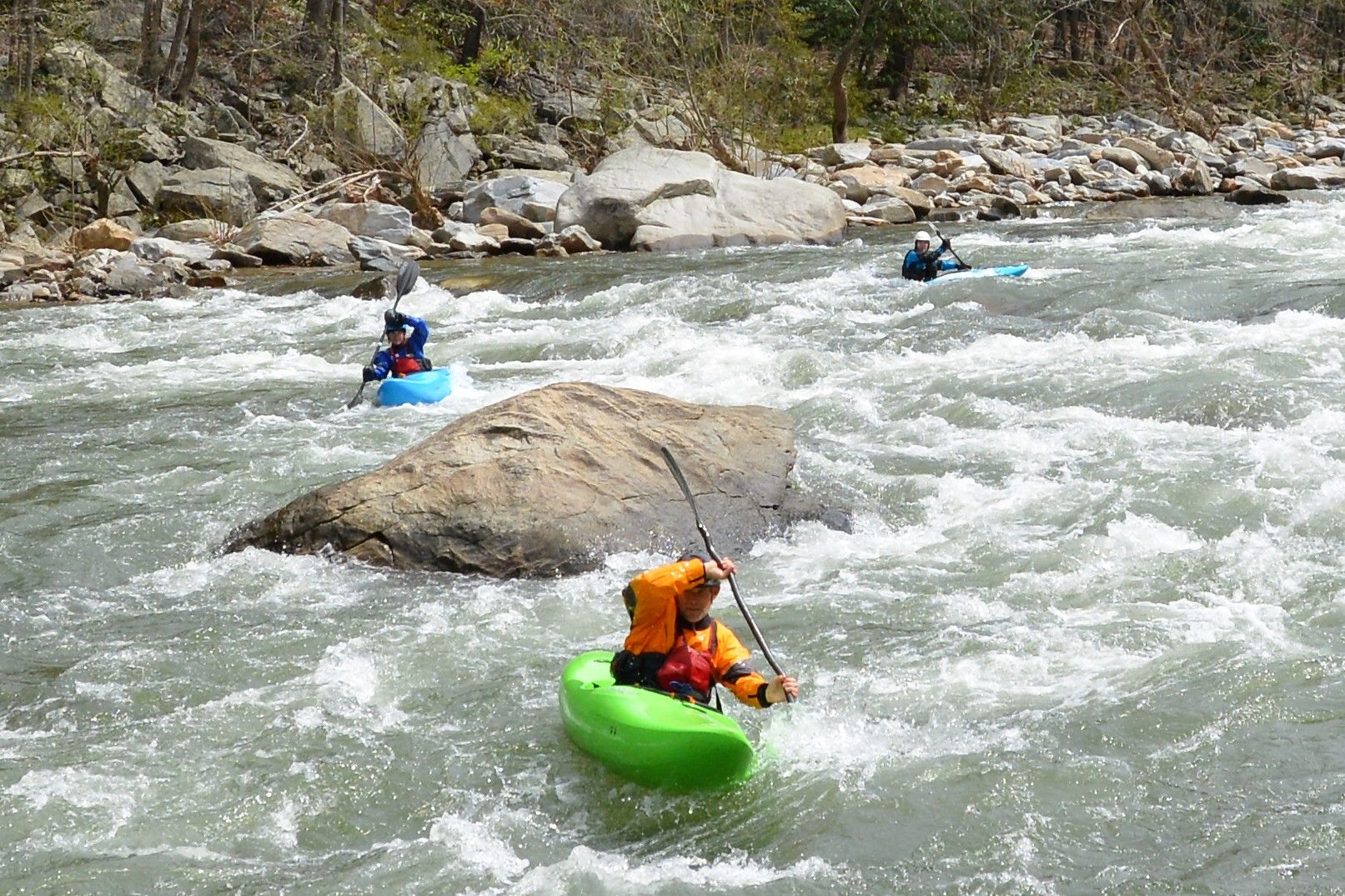
Photo courtesy of American Whitewater
Description
Take Out marks the final navigable section before the Suiattle River confluence, characterized by a tight channel with potential debris and fallen timber. Paddlers should be prepared for potential wood hazards and maintain situational awareness, especially during lower water levels when navigation becomes more technical. Visual scouting is recommended to identify the safest line through this transition zone.
Location
Other Rapids on This Run (1)
View Full Run
Downey Creek trail to Suiattle River
Downey Creek
III-IV
1.0 mi
Current Conditions
5-Day Forecast
Whitewater data from
American Whitewater
American Whitewater