Gauge Conditions
Runnable: 300.0 – 5,000.0 CFS
Upper limit for best boatability uncertain. Please help your fellow boaters with a comment or report.
Data from American Whitewater & USGS
Photo
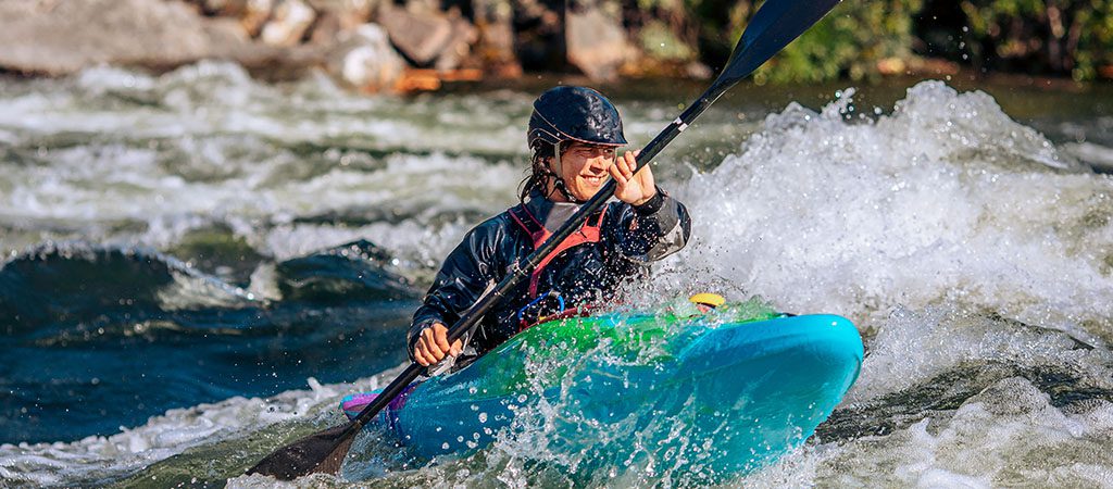
Photo courtesy of American Whitewater
Description
Take Out rapid on Nickajack Creek presents a transition point between the East-West Connector and Bankhead Highway sections, marking the conclusion of the paddling run. While specific difficulty is unrated, paddlers should be alert for potential debris or strainers near the takeout point and assess water levels carefully before attempting the final approach. Navigation through this area requires careful scouting and potentially a portage depending on current conditions.
Location
Other Rapids on This Run (1)

View Full Run
East-West Connector to Bankhead Highway
Nickajack Creek
II-III
5.6 mi
Current Conditions
5-Day Forecast
Whitewater data from
American Whitewater
American Whitewater