Gauge Conditions
Runnable: ? – ? CFS
Approximate - nearest available gauge. Use as general reference only.
Data from American Whitewater & USGS
Photo
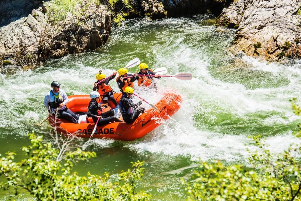
Photo courtesy of American Whitewater
Description
Take Out rapid marks the end of the Frey Creek run, featuring a technical exit with multiple boulder-choked channels that require precise navigation. Paddlers should be prepared for potential pin hazards and shifting rock gardens, with the main line requiring careful route selection to avoid undercut boulders and potential hydraulic traps near the river's right bank.
Location
Other Rapids on This Run (1)
View Full Run
Falling Creek Rd to W.H. Abernathy Hwy
Frey Creek
I-III
1.6 mi
Current Conditions
5-Day Forecast
Whitewater data from
American Whitewater
American Whitewater