Gauge Conditions
Runnable: ? – ? CFS
Approximate - nearest available gauge. Use as general reference only.
Data from American Whitewater & USGS
CDEC Flow Data California
Data from California Data Exchange Center (CDEC)
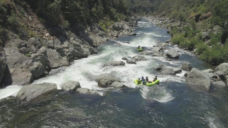
Photo
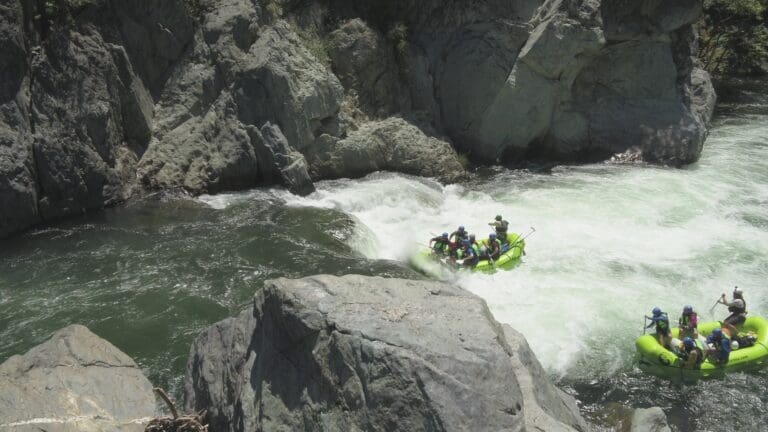
Photo courtesy of American Whitewater
Description
Take-out rapid marks the end of the Middle Fork American River run, characterized by a straightforward exit point with minimal technical challenges. Paddlers should be aware of potential debris and shifting water levels that can impact the takeout logistics, and should carefully scout the area to ensure a safe and efficient exit from the river.
Location
Other Rapids on This Run (1)
View Full Run
French Meadows Dam to Interbay
American, Middle Fork
I
11.0 mi
Current Conditions
5-Day Forecast
Whitewater data from
American Whitewater
American Whitewater