Gauge Conditions
Runnable: ? – ? CFS
Approximate - nearest available gauge. Use as general reference only.
Data from American Whitewater & USGS
Photo
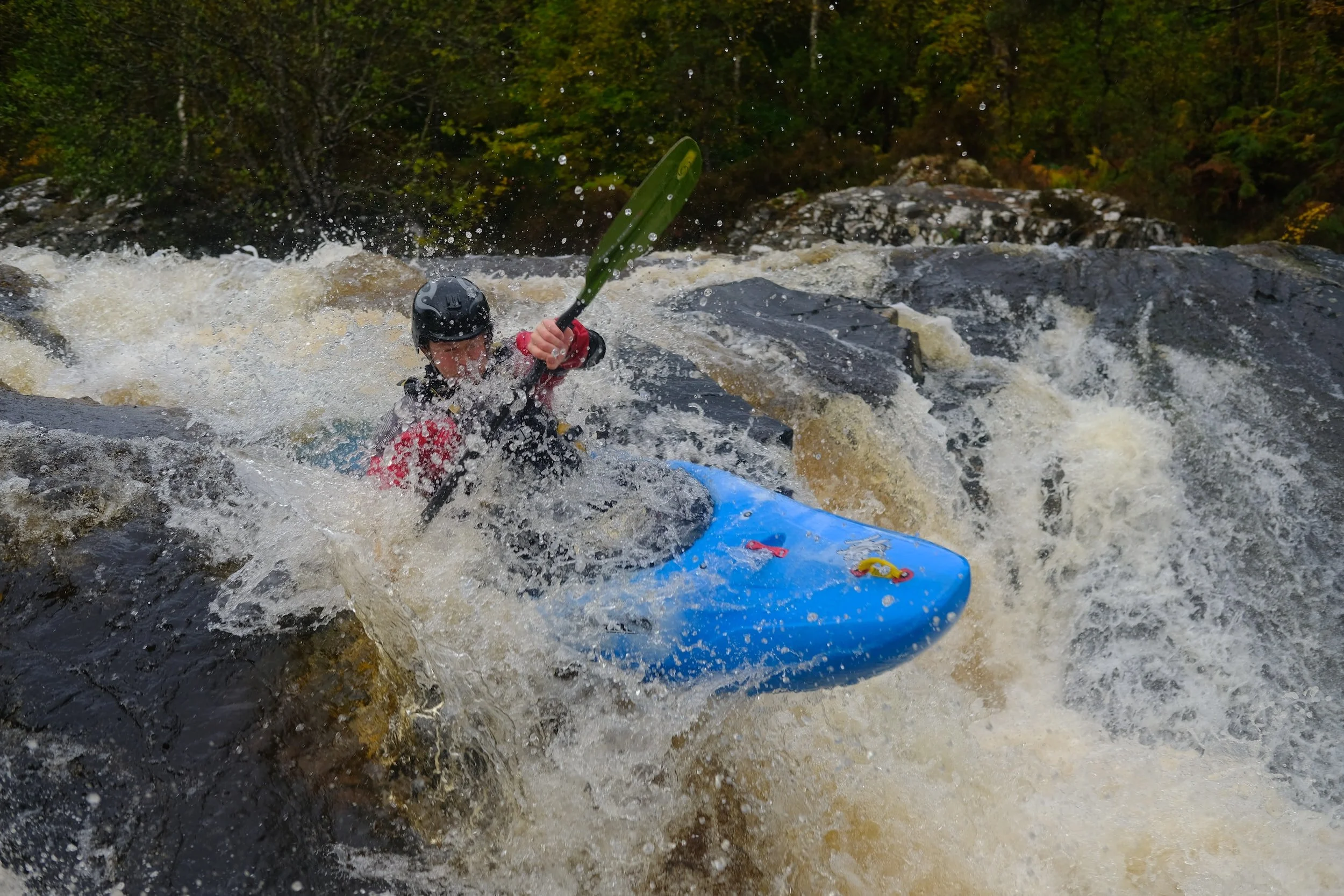
Photo courtesy of American Whitewater
Description
Take Out rapid marks the end of the Flat Shoals run, signaling the takeout point for paddlers completing the section. While specific details are limited, paddlers should be aware of potential hazards near the river exit and prepare for a smooth transition from water to shore.
Location
Other Rapids on This Run (1)
View Full Run
GA Route 18 to GA Route 103
Flat Shoals
II
5.3 mi
Current Conditions
5-Day Forecast
Whitewater data from
American Whitewater
American Whitewater