Gauge Conditions
Runnable: ? – ? CFS
Approximate - nearest available gauge. Use as general reference only.
Data from American Whitewater & USGS
Photo
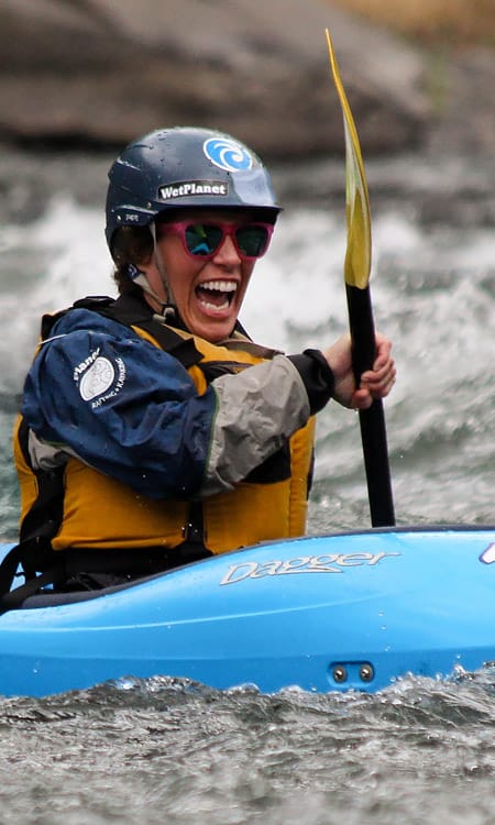
Photo courtesy of American Whitewater
Description
Take Out marks the termination point of the upper Konkapot River run, characterized by a series of small boulder garden features that require precise maneuvering between tight rock channels. Paddlers should be alert for potential pin hazards and scout the rapid's line carefully, as the rock configuration can change significantly with varying water levels.
Location
Other Rapids on This Run (1)

View Full Run
Hayes Hill Rd to Konkapot Rd
Konkapot River
I-III
3.2 mi
Current Conditions
5-Day Forecast
Whitewater data from
American Whitewater
American Whitewater