Gauge Conditions
Runnable: ? – ? CFS
Approximate - nearest available gauge. Use as general reference only.
Data from American Whitewater & USGS
Photo
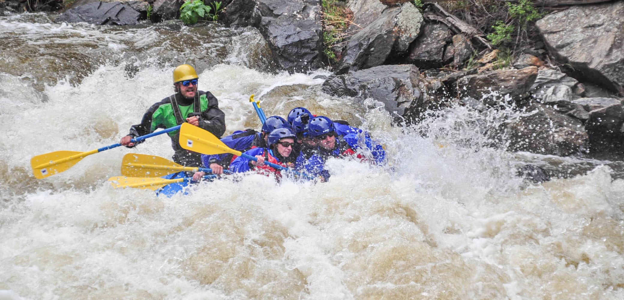
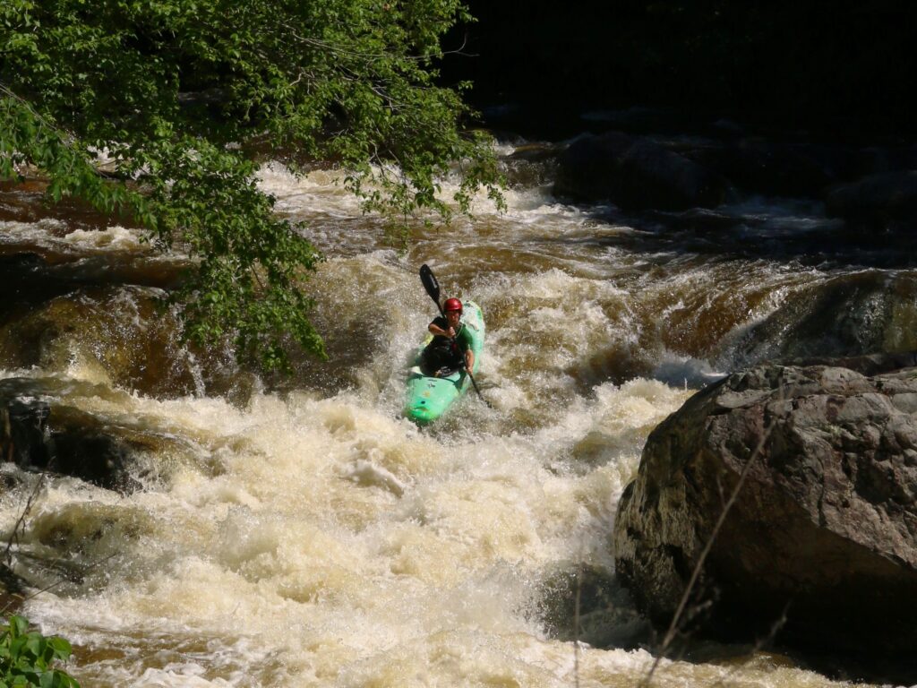
Photo courtesy of American Whitewater
Description
Take Out marks the end of the Hellroaring Creek run, presenting a complex exit point with potential obstructions and a tight channel that demands precise navigation. Paddlers must be prepared for potential log jams, undercut rocks, and a potentially challenging final approach that requires careful boat control and scouting before committing to the line.
Location
Other Rapids on This Run (1)
View Full Run
Headwaters to Yellowstone National Park
Hellroaring Creek
IV-V
12.1 mi
Current Conditions
5-Day Forecast
Whitewater data from
American Whitewater
American Whitewater