Gauge Conditions
Runnable: ? – ? CFS
Approximate - nearest available gauge. Use as general reference only.
Data from American Whitewater & USGS
Photo
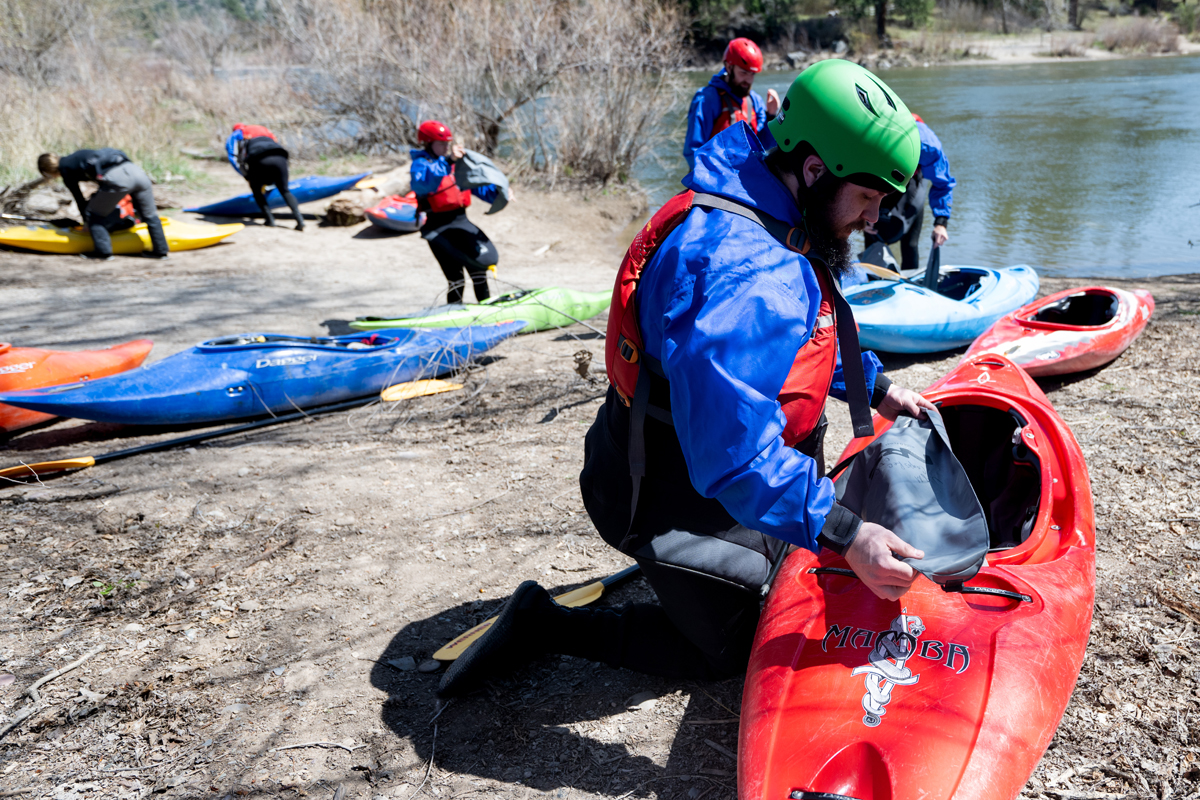
Photo courtesy of American Whitewater
Description
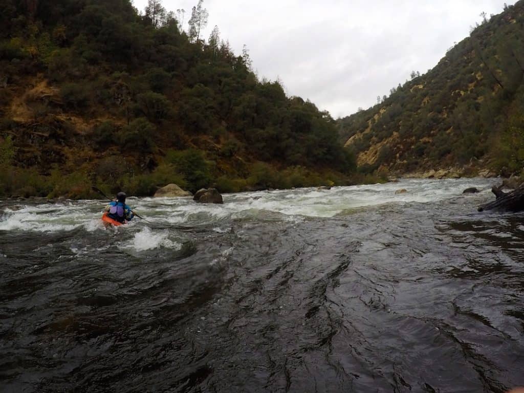
Take Out is a notorious transition point marking the end of the Shaws Fork run, characterized by a tight, technical exit that requires precise boat control and strategic maneuvering between closely spaced boulders. Paddlers must carefully navigate the constricted channel, anticipating potential pin hazards and maintaining momentum to successfully clear the final drop.
Location
Other Rapids on This Run (1)
View Full Run
Headwaters (U.S. 250) to Liberty (VA 616)
Shaws Fork
II-III
4.7 mi
Current Conditions
5-Day Forecast
Whitewater data from
American Whitewater
American Whitewater