Gauge Conditions
Runnable: ? – ? CFS
Approximate - nearest available gauge. Use as general reference only.
Data from American Whitewater & USGS
CDEC Flow Data California
Data from California Data Exchange Center (CDEC)
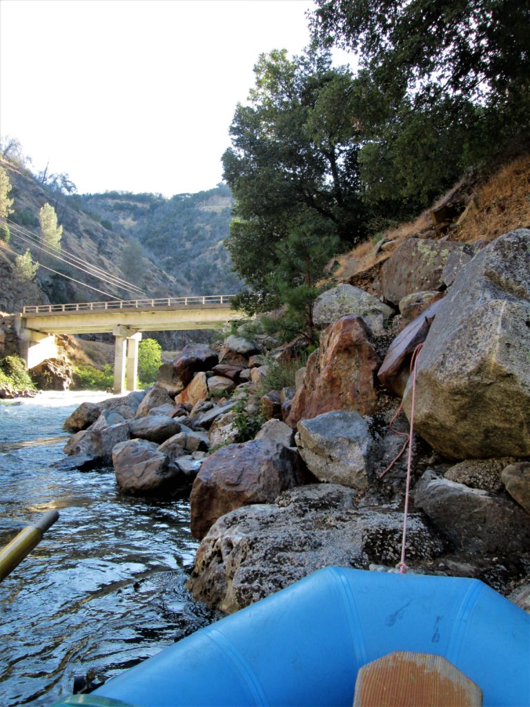
Photo

Photo courtesy of American Whitewater
Description
Take Out rapid marks the end of this Tuolumne River run, featuring a straightforward approach with potential for scattered rocks and minor hydraulics near the river's exit point. Paddlers should remain alert for any debris or riverbed changes, particularly during lower water levels, and be prepared for a clean line that transitions into the Rainbow Pool takeout area.
Location
Other Rapids on This Run (1)
View Full Run
Highway 120 Bridge to Rainbow Pool Picnic Area
Tuolumne, S. Fork
IV-V
7.4 mi
Current Conditions
5-Day Forecast
Whitewater data from
American Whitewater
American Whitewater