Gauge Conditions
Runnable: ? – ? CFS
Approximate - nearest available gauge. Use as general reference only.
Data from American Whitewater & USGS
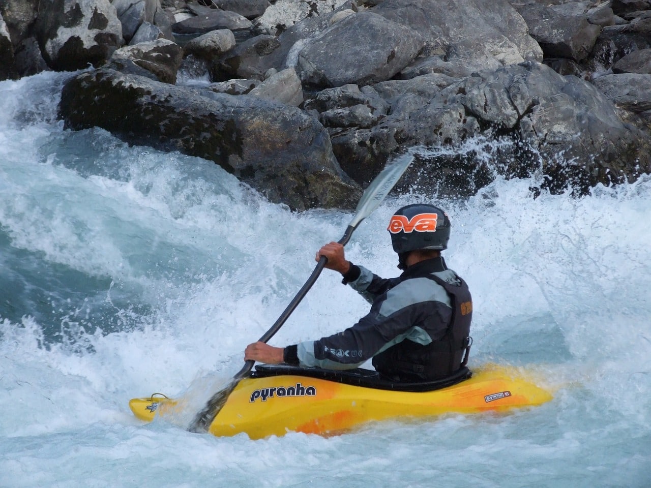
Photo
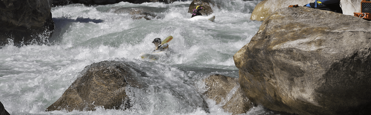
Photo courtesy of American Whitewater
Description
Take Out rapid on the Bourbeuse River serves as the terminus point for this river section, likely marked by a designated exit area for boaters. While specific difficulty details are not provided, paddlers should be prepared for potential flow variations and standard river exit challenges such as potential shallow areas, debris, or current shifts near the takeout point.
Location
Other Rapids on This Run (1)
View Full Run
Highway 19 to Highway AM (west of Robertsville) (107.6 miles)
Bourbeuse
I
112.8 mi
Current Conditions
5-Day Forecast
Whitewater data from
American Whitewater
American Whitewater