Gauge Conditions
Data from American Whitewater & USGS
Photo
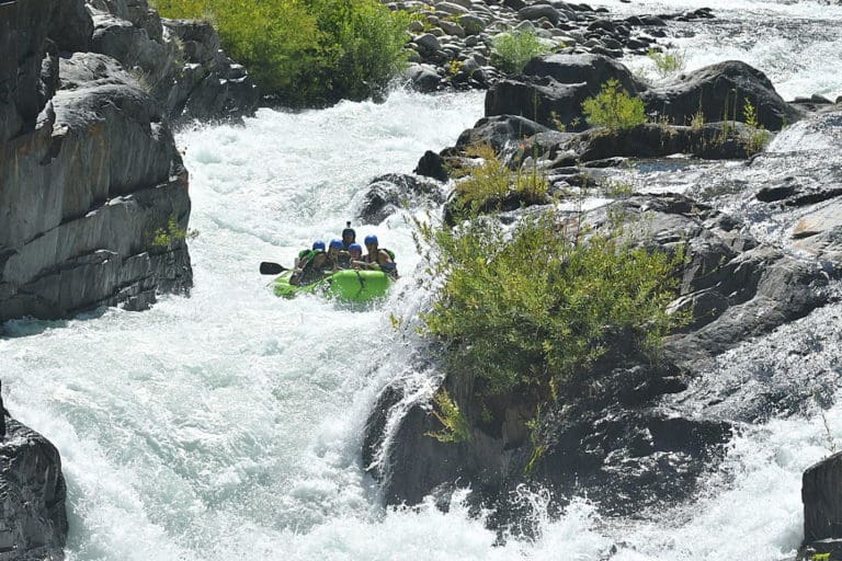
Photo courtesy of American Whitewater
Description
Take Out rapid marks the end of this Cadron Creek run, featuring a narrow constriction that can create unpredictable hydraulics at various water levels. Paddlers should be prepared for potential sieves and strainers near the river's edge, and carefully scout the exit line to avoid potential pin hazards in the final approach to the takeout point.
Location
Other Rapids on This Run (1)

View Full Run
Highway 356 to Highway 124 (6.4 miles)
Cadron Creek, Middle Fork
I(II)
6.6 mi
Current Conditions
5-Day Forecast
Whitewater data from
American Whitewater
American Whitewater