Gauge Conditions
Runnable: ? – ? CFS
Approximate - nearest available gauge. Use as general reference only.
Data from American Whitewater & USGS
Photo

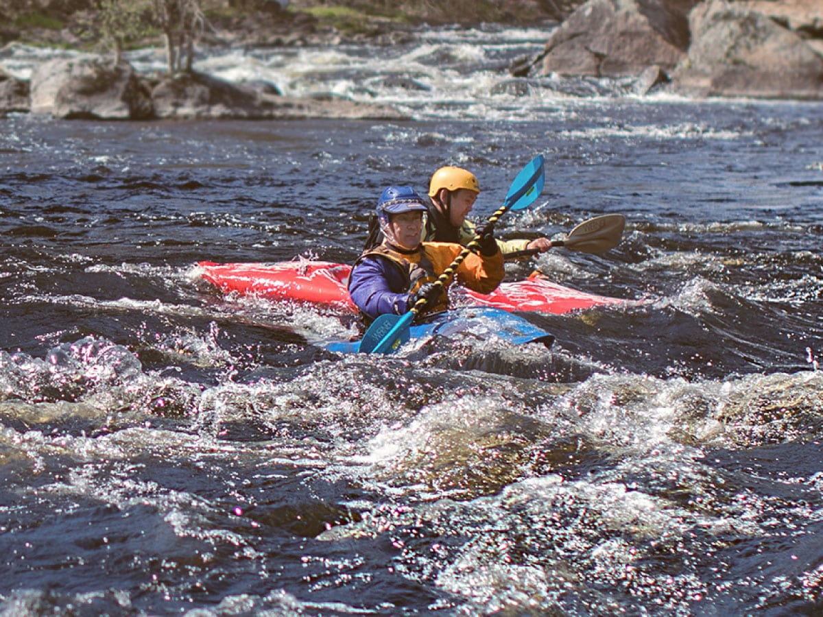
Photo courtesy of American Whitewater
Description
Take Out marks the end of the Huntington River run, where paddlers must carefully navigate out of the river channel and onto shore. The takeout point likely features a potentially tricky exit with potential shallow or rocky areas that require precise maneuvering, so paddlers should scout the location carefully and be prepared for a potentially challenging transition from water to land.
Location
Other Rapids on This Run (1)
View Full Run
Huntington to Russell
Westfield
I-II
4.2 mi
Current Conditions
5-Day Forecast
Whitewater data from
American Whitewater
American Whitewater