Gauge Conditions
Data from American Whitewater & USGS
Photo

Photo courtesy of American Whitewater
Description
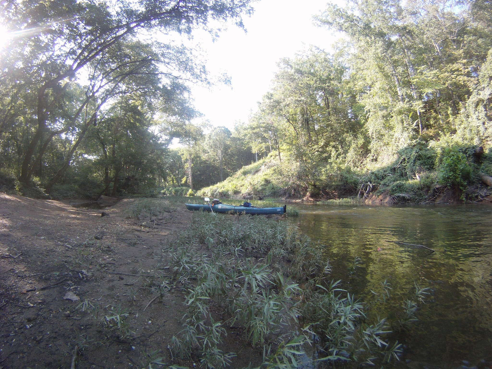
Take Out marks the end of this extended river run, serving as a crucial transition point where paddlers must carefully navigate their exit from the water at the Saline Crossing Regional Park. While specific technical details are limited, boaters should be prepared for potential shallow areas, debris, or changing water conditions typical of the Alum Fork Saline River in Arkansas.
Location
Other Rapids on This Run (1)
View Full Run
Hwy 5 to Saline Crossing Regional Park (24.1 miles)
Saline, Alum Fork
I-II
22.3 mi
Current Conditions
5-Day Forecast
Whitewater data from
American Whitewater
American Whitewater