Take-out
MO
Take Out
Big Creek - Hwy.K west of Annapolis to Sam A. Baker State Park (19.2 miles) (MO)
Gauge Conditions
Data from American Whitewater & USGS
Photo
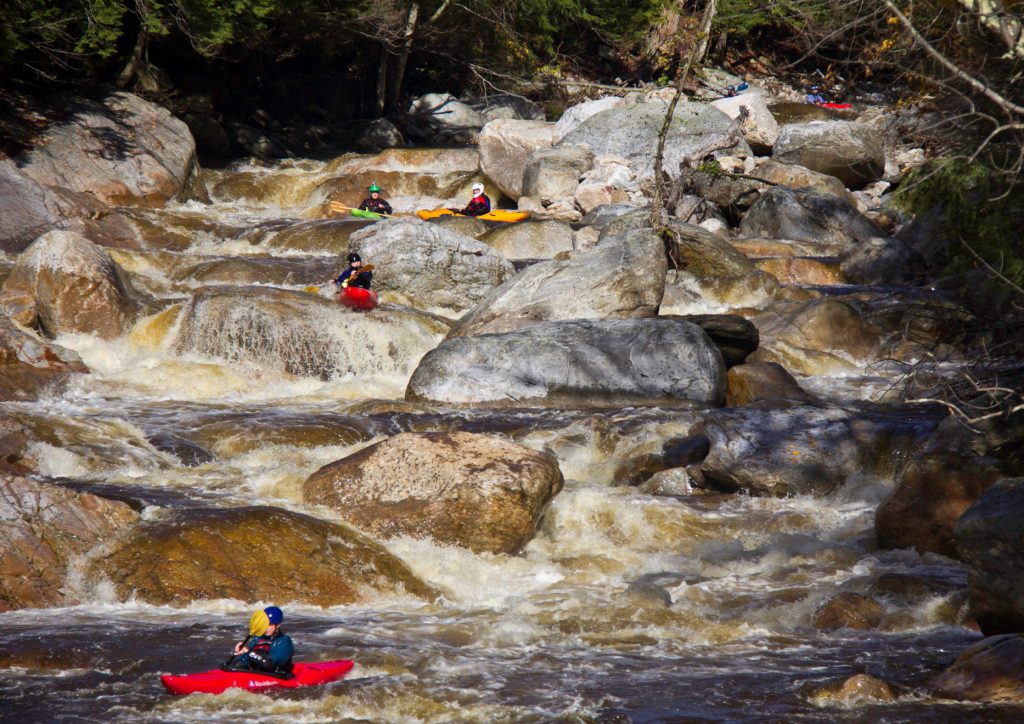
Photo courtesy of American Whitewater
Description
Take Out rapid marks the end of the Big Creek run, featuring a straightforward exit point with minimal technical challenges. Paddlers should be aware of potential shallow areas and submerged rocks near the river's edge when approaching the takeout, and maintain careful boat control to avoid unintended contact with riverbank obstacles.
Location
Other Rapids on This Run (3)
View Full Run
Hwy.K west of Annapolis to Sam A. Baker State Park (19.2 miles)
Big Creek
I-II
17.9 mi
Current Conditions
5-Day Forecast
Whitewater data from
American Whitewater
American Whitewater