Gauge Conditions
Runnable: ? – ? CFS
Approximate - nearest available gauge. Use as general reference only.
Data from American Whitewater & USGS
Photo
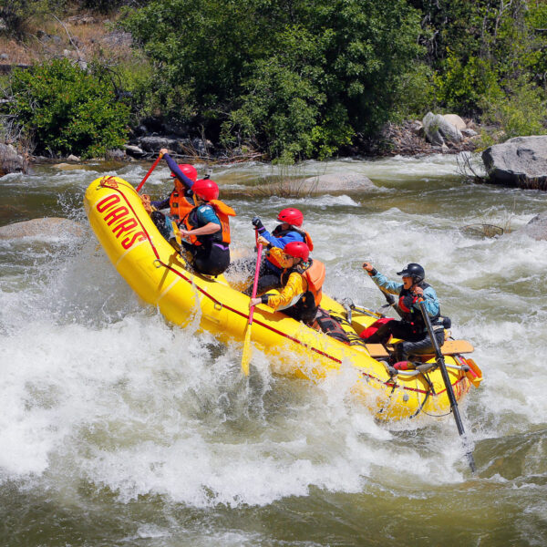
Photo courtesy of American Whitewater
Description
Take Out rapid marks the end of the Ivy Branch run on Yellowleaf Creek's North Fork, signaling a critical transition point for paddlers exiting the creek. The rapid features a tight channel with potential for pinning hazards and requires careful navigation near the old highway bridge remnants. Paddlers should scout the exit carefully and be prepared for potential debris or strainers in this final stretch.
Location
Other Rapids on This Run (1)
View Full Run
Ivy Branch to Old Highway 280
Yellowleaf Creek, North Fork
III+
1.4 mi
Current Conditions
5-Day Forecast
Whitewater data from
American Whitewater
American Whitewater