Gauge Conditions
Runnable: ? – ? CFS
Approximate - nearest available gauge. Use as general reference only.
Data from American Whitewater & USGS
Photo
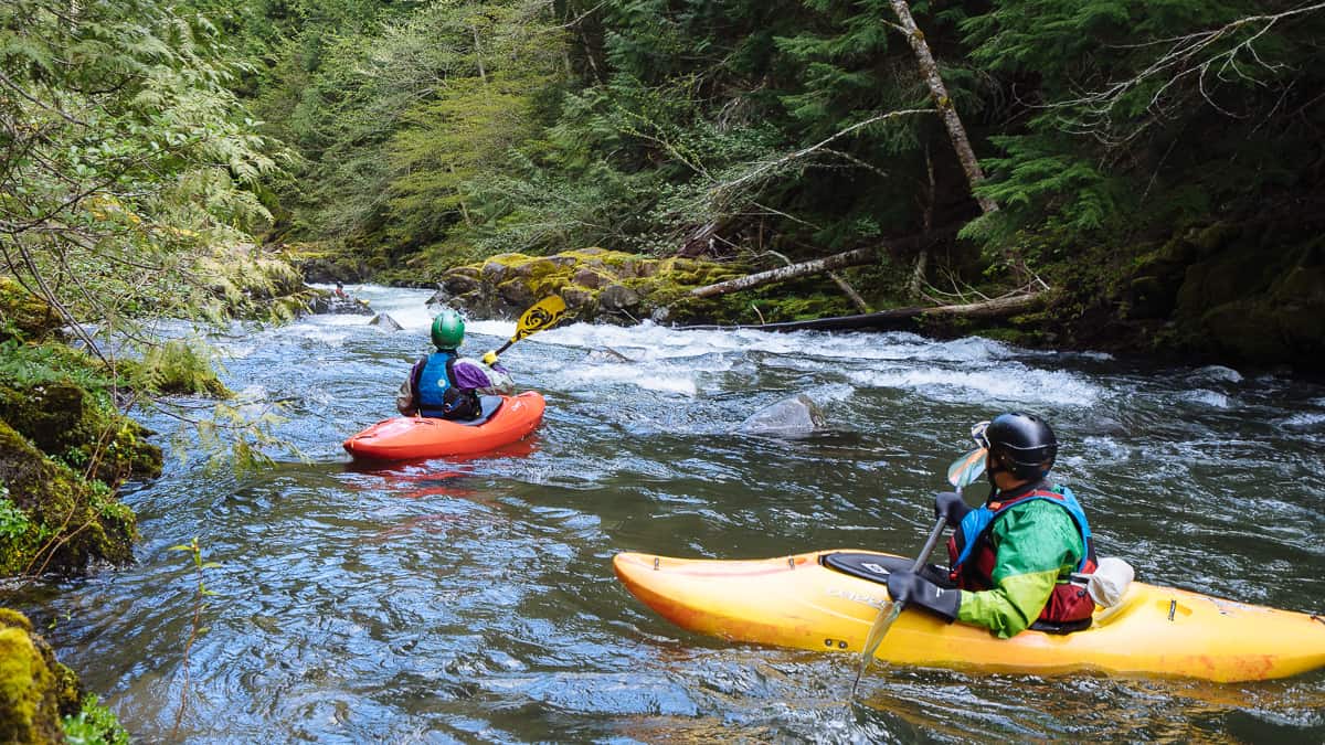
Photo courtesy of American Whitewater
Description
Take Out is a transition rapid marking the end of this river section, characterized by a broad, braided channel with scattered boulder fields that require precise navigation. Paddlers should be alert for potential shallow areas and shifting channels, particularly during lower water levels, and prepare for takeout logistics on the river right bank.
Location
Other Rapids on This Run (1)
View Full Run
Johnson Beach to below Mile 7 Bridge
Coos, S. Fork
II-III
7.2 mi
Current Conditions
5-Day Forecast
Whitewater data from
American Whitewater
American Whitewater