Gauge Conditions
Runnable: ? – ? CFS
Approximate - nearest available gauge. Use as general reference only.
Data from American Whitewater & USGS
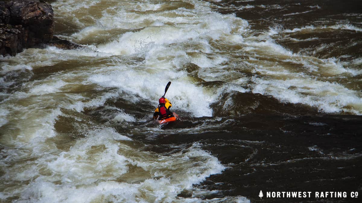
Photo
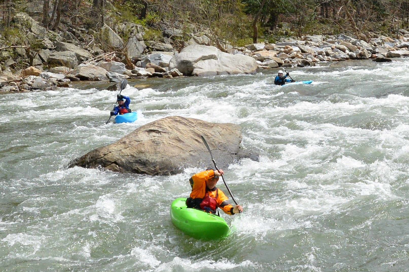
Photo courtesy of American Whitewater
Description
Take Out is a flat water transition zone marking the end of the Marble Creek run, where paddlers must navigate a narrow channel with potential debris and current shifts near the KY 169 bridge. While not technically challenging, careful boat positioning and awareness of potential strainers are critical when exiting the creek and entering the Kentucky River confluence.
Location
Other Rapids on This Run (1)
View Full Run
KY 169 bridge to Kentucky River confluence (4 miles)
Marble Creek
II-III(IV)
3.6 mi
Current Conditions
5-Day Forecast
Whitewater data from
American Whitewater
American Whitewater