Gauge Conditions
Runnable: ? – ? CFS
Approximate - nearest available gauge. Use as general reference only.
Data from American Whitewater & USGS
Photo
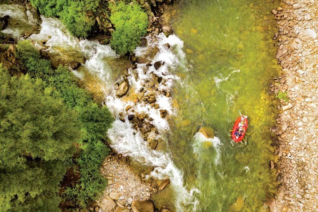
Photo courtesy of American Whitewater
Description
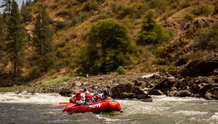
Take Out rapid on the Cathance Stream is the final descent before the river reaches Dennysville, characterized by a broad, boulder-strewn channel that demands precise maneuvering through multiple technical lines. Paddlers should expect scattered midstream rocks and potential shallow sections that require careful boat placement and quick route selection, with the primary challenge being maintaining momentum while avoiding potential pinning hazards.
Location
Other Rapids on This Run (1)
View Full Run
Lake Cathance to Dennysville
Cathance Stream (Washington Co.)
I-V
14.4 mi
Current Conditions
5-Day Forecast
Whitewater data from
American Whitewater
American Whitewater