Gauge Conditions
Data from American Whitewater & USGS
Photo
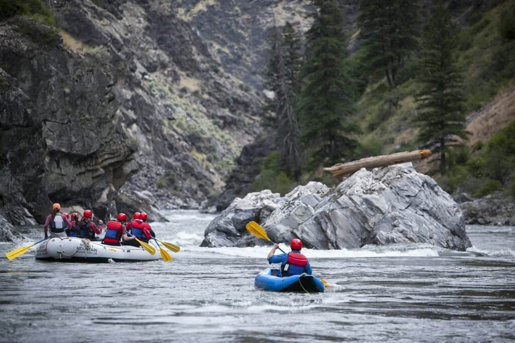
Photo courtesy of American Whitewater
Description
Take Out marks the end of the Landslide section, serving as a critical exit point for boaters completing this run. While specific details are limited, paddlers should be prepared for potential hazards typical of mountain creek drainages, including potential debris, tight channels, and abrupt gradient changes that may require precise navigation.
Location
Other Rapids on This Run (1)

View Full Run
Landslide to North Umpqua
Limpy Creek
IV(V)
1.2 mi
Current Conditions
5-Day Forecast
Whitewater data from
American Whitewater
American Whitewater