Gauge Conditions
Runnable: 2,000.0 – 20,000.0 CFS
Flow range for best boatability uncertain. Please help your fellow boaters with a comment or report.
Data from American Whitewater & USGS
Photo
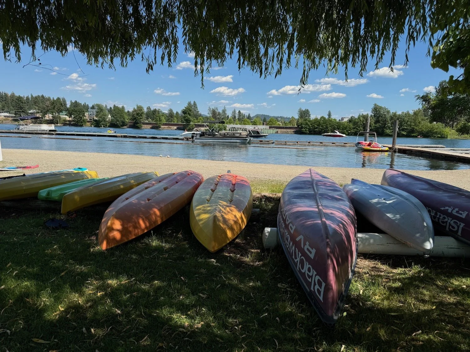
Photo courtesy of American Whitewater
Description
Take Out rapid marks the end of the Little North Fork Coeur d'Alene run, characterized by a complex exit point that requires careful navigation through scattered boulder fields and potential shallow sections. Paddlers should be prepared for potential debris and shifting water levels that can dramatically alter the rapid's character, particularly during spring runoff or after significant rainfall.
Location
Other Rapids on This Run (1)

View Full Run
Laverne Creek to Coeur d'Alene River
Coeur d'Alene, Little North Fork
II-III
21.1 mi
Current Conditions
5-Day Forecast
Whitewater data from
American Whitewater
American Whitewater