Gauge Conditions
Runnable: ? – ? CFS
Approximate - nearest available gauge. Use as general reference only.
Data from American Whitewater & USGS
Photo
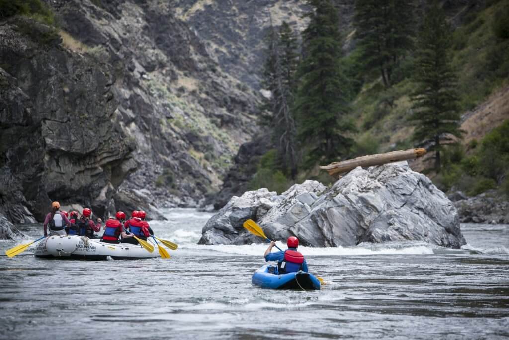
Photo courtesy of American Whitewater
Description
Take Out rapid marks the end of the Trout Brook run, featuring a potentially technical exit with scattered boulder gardens and potential wood hazards. Paddlers should scout carefully and be prepared for potential strainers or required portages near the logging road and E. Shore Road transition points, as the rapid's character can change dramatically with water levels.
Location
Other Rapids on This Run (2)
View Full Run
logging road to E.Shore Road (1.5 miles)
Trout Brook
II-III+
1.3 mi
Current Conditions
5-Day Forecast
Whitewater data from
American Whitewater
American Whitewater