Gauge Conditions
Runnable: ? – ? CFS
Approximate - nearest available gauge. Use as general reference only.
Data from American Whitewater & USGS
Photo

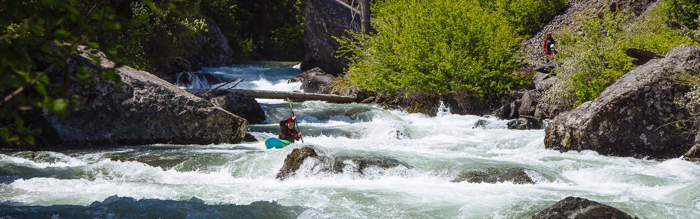
Photo courtesy of American Whitewater
Description
Take Out rapid presents minimal technical challenge on this remote Eagle Fork Creek section, with no significant hazards noted. Paddlers should expect primarily flat water conditions and maintain standard river navigation awareness during low water levels. Recommended scouting and local beta are advised due to limited documented information about this specific river segment.
Location
Other Rapids on This Run (1)
View Full Run
Low Water Bridge to D4710 near Smithville (12.5 miles)
Eagle Fork Creek
II-III
12.3 mi
Current Conditions
5-Day Forecast
Whitewater data from
American Whitewater
American Whitewater