Gauge Conditions
Runnable: ? – ? CFS
Approximate - nearest available gauge. Use as general reference only.
Data from American Whitewater & USGS
Photo

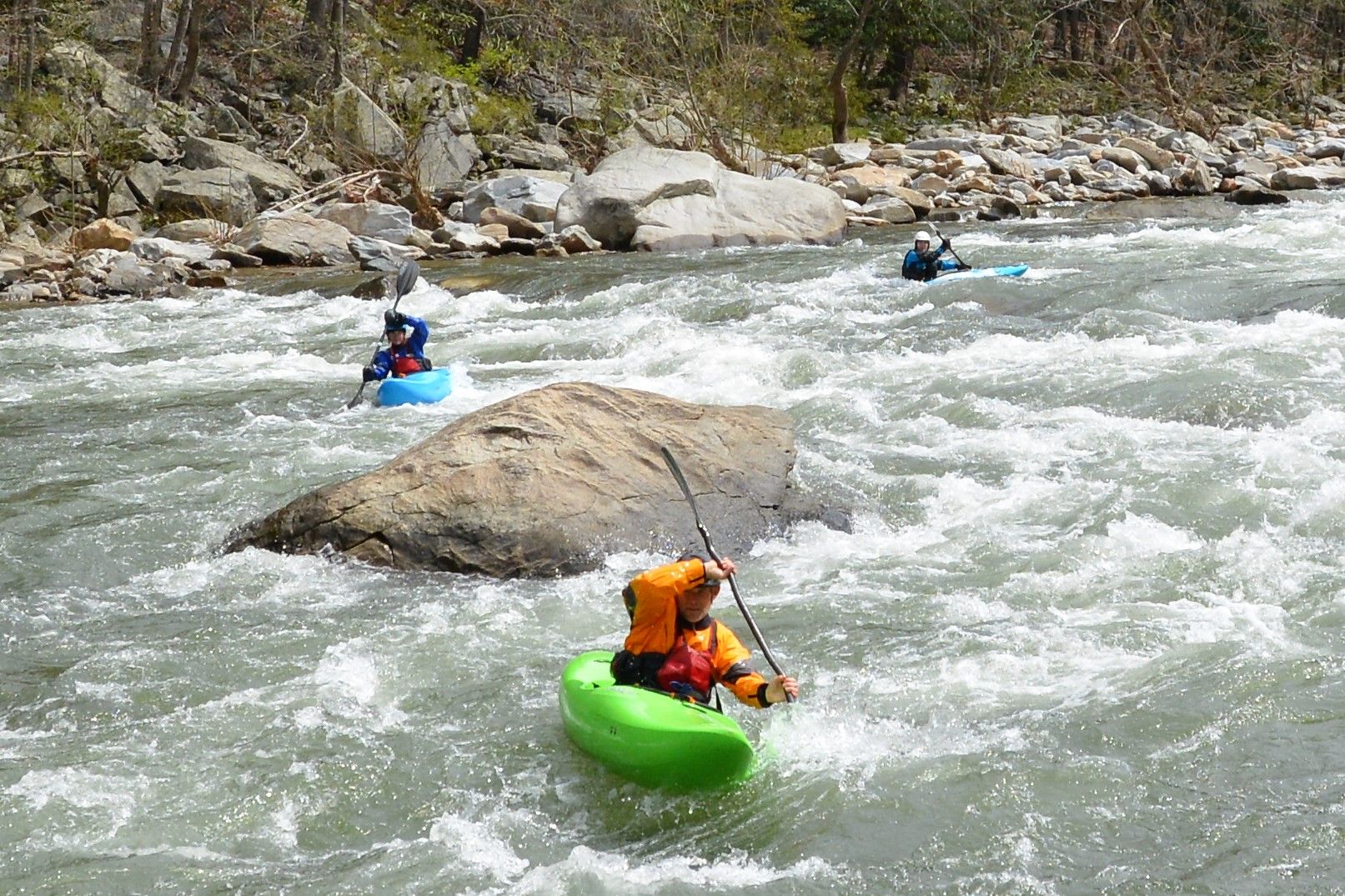
Photo courtesy of American Whitewater
Description
Take Out rapid marks the conclusion of the Lower Ebeemee section, featuring a straightforward but potentially rocky approach that demands careful navigation. While specific details are limited, paddlers should be prepared for potential obstructions and maintain situational awareness as they approach the takeout point on the East Branch of the Pleasant River.
Location
Other Rapids on This Run (1)
View Full Run
Lower Ebeemee to Brownville Junction
Pleasant, E. Branch
I-II
6.1 mi
Current Conditions
5-Day Forecast
Whitewater data from
American Whitewater
American Whitewater