Gauge Conditions
Runnable: 800.0 – 1,600.0 CFS
Estimated
Data from American Whitewater & USGS
Photo
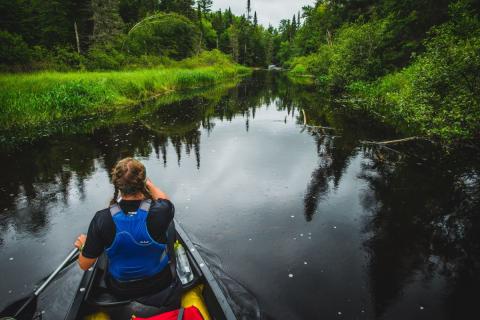
Photo courtesy of American Whitewater
Description
Take Out rapid marks the end of the run near Tupper Lake, signaling the conclusion of the Bog River descent. While specifics are limited, paddlers should be prepared for potential flatwater or mixed conditions as they approach the takeout point, potentially requiring careful navigation and awareness of local river conditions.
Location
Other Rapids on This Run (1)
View Full Run
Lows Lower Dam to Tupper Lake
Bog
II-V
6.2 mi
Current Conditions
5-Day Forecast
Whitewater data from
American Whitewater
American Whitewater