Take-out
MD
Take Out - Maryland Route 495
Casselman, N. Branch - Dung Hill Road to Maryland Route 495 (MD)
Gauge Conditions
Data from American Whitewater & USGS
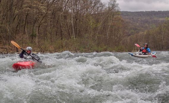
Photo

Photo courtesy of American Whitewater
Description
The Take Out rapid at Maryland Route 495 marks the end of the Casselman River's North Branch run, providing a straightforward exit point for paddlers completing their descent. While specific technical details are limited, the location offers a transition from river to roadside access, likely featuring standard takeout considerations such as potential shallow areas, potential shore terrain, and proximity to the road bridge.
Location
Other Rapids on This Run (1)
View Full Run
Dung Hill Road to Maryland Route 495
Casselman, N. Branch
I-III
5.6 mi
Current Conditions
5-Day Forecast
Whitewater data from
American Whitewater
American Whitewater