Gauge Conditions
Data from American Whitewater & USGS
Photo
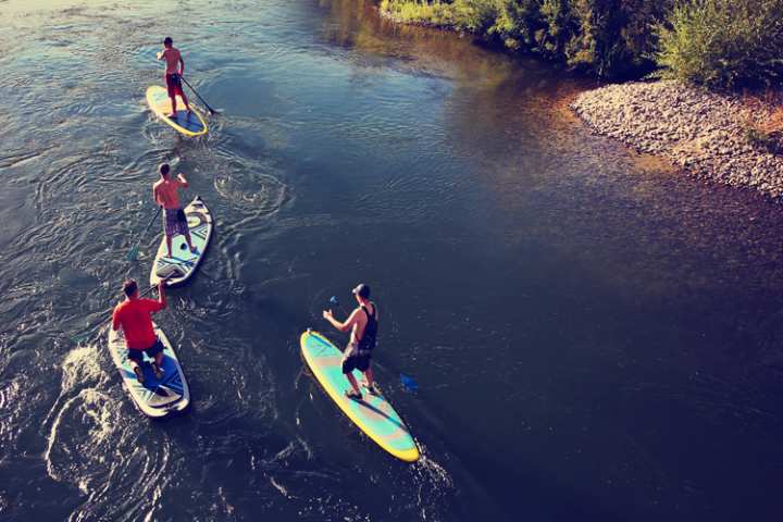
Photo courtesy of American Whitewater
Description
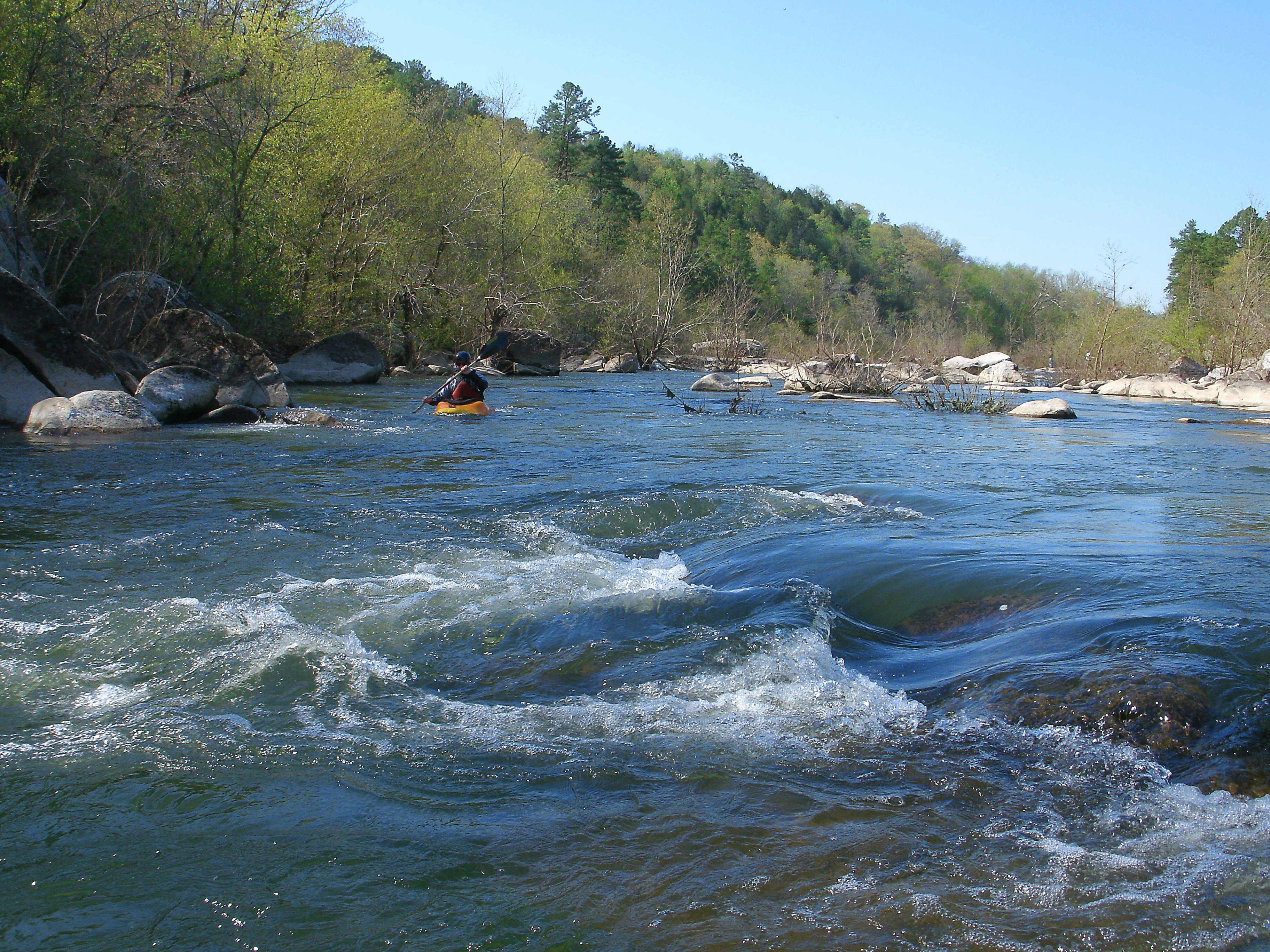
Take Out rapid marks the end of the Mashburn run on the St. Maries River, signaling the confluence with the St. Joe River. While specific details are limited, paddlers should be aware of potential debris, changing water levels, and the transition between river sections at this location.
Location
Other Rapids on This Run (1)
View Full Run
Mashburn to St. Joe River
St. Maries
II-III
28.1 mi
Current Conditions
5-Day Forecast
Whitewater data from
American Whitewater
American Whitewater