Take-out
MT
Take Out
Rock Creek (Missoula County) - Middle & West Fork confluence to Clark Fork R. (MT)
Gauge Conditions
Runnable: 300.0 – 5,000.0 CFS
Flow range for best boatability uncertain. Please help your fellow boaters with a comment or report.
Data from American Whitewater & USGS
Photo
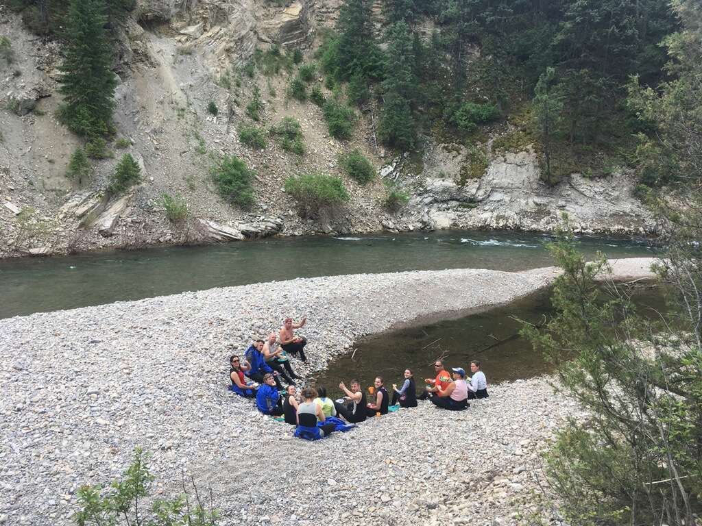
Photo courtesy of American Whitewater
Description
Take Out rapid marks the confluence of Rock Creek's Middle and West Forks, presenting a complex navigation challenge with multiple braided channels and potential shifting debris. Paddlers should carefully scout the rapid's entry point, watching for submerged rocks and potential wood hazards that can vary with seasonal water levels and runoff conditions.
Location
Other Rapids on This Run (1)

View Full Run
Middle & West Fork confluence to Clark Fork R.
Rock Creek (Missoula County)
II-III
52.5 mi
Current Conditions
5-Day Forecast
Whitewater data from
American Whitewater
American Whitewater