Gauge Conditions
Runnable: ? – ? CFS
Approximate - nearest available gauge. Use as general reference only.
Data from American Whitewater & USGS
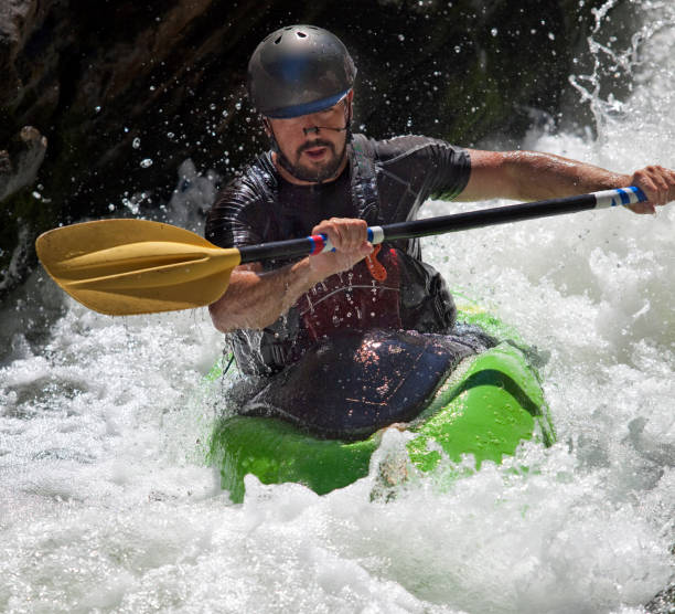
Photo
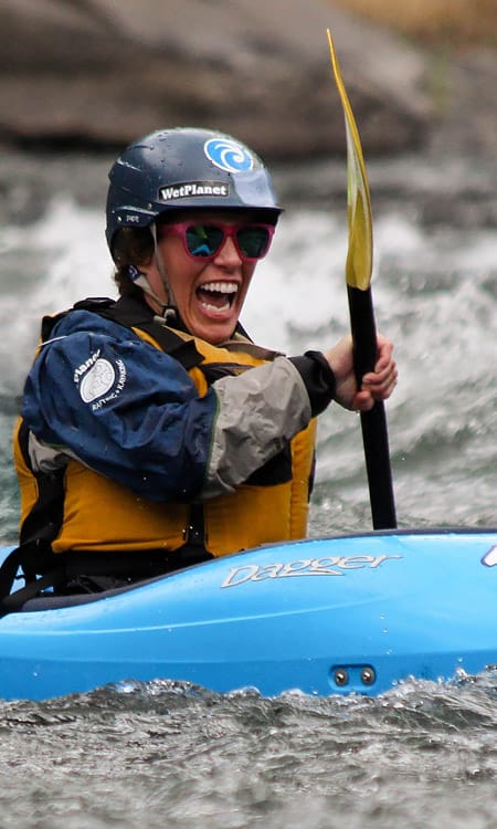
Photo courtesy of American Whitewater
Description
Take Out marks the terminus of the Ruth Creek whitewater run, where paddlers exit the river and transition to land transportation. The rapid itself is largely undefined, with minimal distinguishing features beyond serving as a critical transition point for boaters completing their descent through the Mt. Baker Wilderness Area.
Location
Other Rapids on This Run (1)
View Full Run
Mt. Baker Wilderness Area to confluence with Nooksack River
Ruth Creek
IV-V+
4.1 mi
Current Conditions
5-Day Forecast
Whitewater data from
American Whitewater
American Whitewater