Gauge Conditions
Data from American Whitewater & USGS
Photo
Photo courtesy of American Whitewater
Description
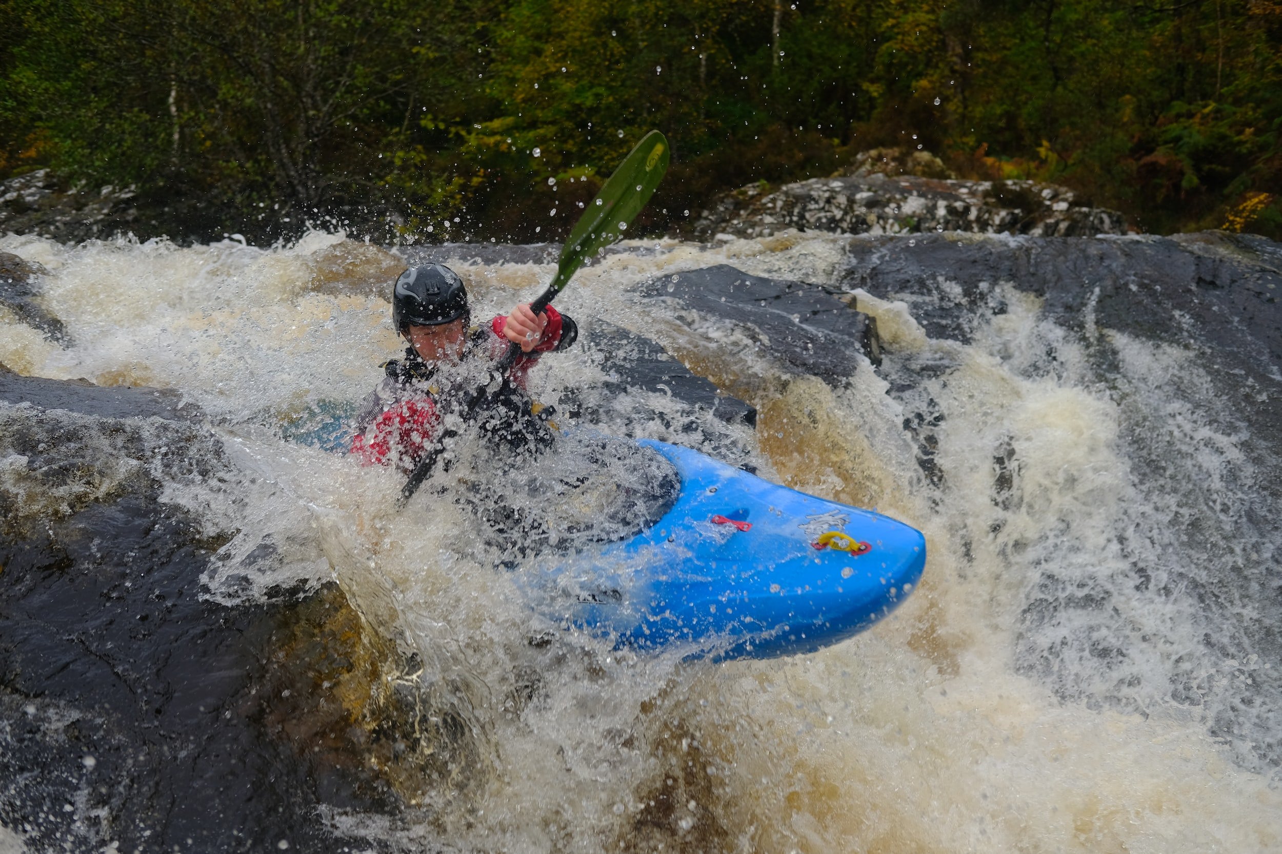
Take Out rapid marks the conclusion of the Gurley Creek run, where paddlers must navigate a tight constriction with potential debris and limited maneuvering space. The exit point requires careful boat positioning and precise paddle strokes to avoid potential pin hazards or unseen underwater obstructions near the takeout zone.
Location
Other Rapids on This Run (1)
View Full Run
Narrows Rd to State Rte 79
Gurley Creek
II-III
3.6 mi
Current Conditions
5-Day Forecast
Whitewater data from
American Whitewater
American Whitewater